Transport Functions
Port
Hub Profile
Place type
Populated place
Region
Central Greece
Population
4,782
Time zone
Europe/Athens
Elevation
7 m
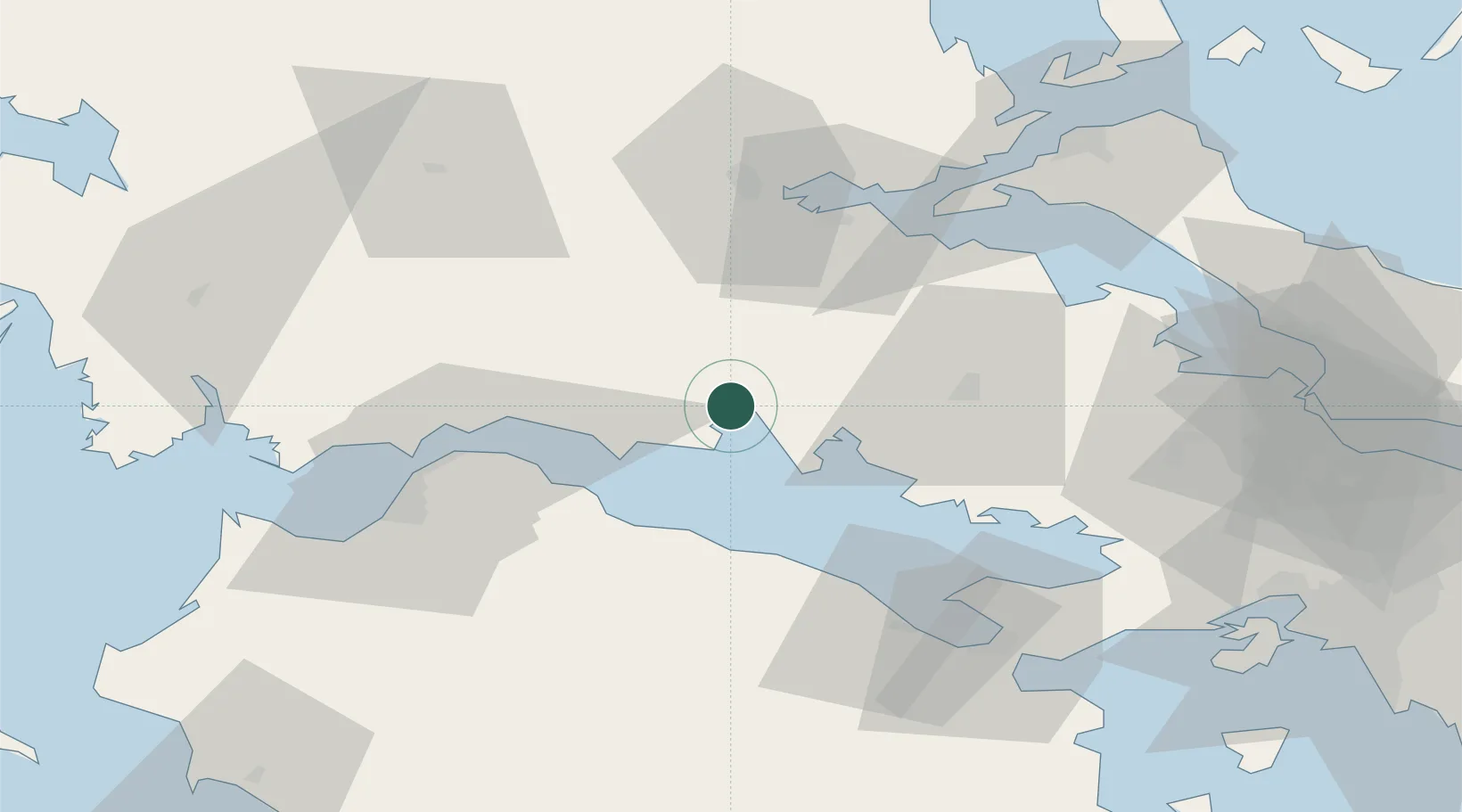
Location
Nearby Logistics Neighbours
Cities
- 1Galaxidi6 km
- 2Eratini18 km
- 3Antikyra20 km
- 4Saint Nicolas25 km
- 5Agios Nikolaos Fokidas26 km
Ports
- 1Aigio36 km
- 2Achladi62 km
- 3Patrai63 km
- 4Mesolongion88 km
- 5Tsingeli90 km
Airports
- 1Patras Araxos Agamemnon Airport92 km
- 2Nea Anchialos National Airport93 km
- 3Tanagra Air Base101 km
- 4Elefsis Air Base108 km
- 5Andravida Air Base114 km
Trade Zones
- 1Free Zone of Platigiali (Astakos Etoloakarnanias)115 km
- 2Free Zone of Piraeus118 km
- 3Free Zone of Thessaloniki249 km
- 4Gjirokastër Freezone266 km
- 5Përmet Freezone268 km
DatabookThe Record of Consolidated Knowledge
Greece beyond logistics?