UN/LOCODE hub · Greece
GRATK

Antikyra

38.3833°, 22.6333°
1,448
Population
1
Transport functions

Transport Functions

Port
UN/LOCODE

Hub Profile

Place type
Populated place
GeoNames
Region
Central Greece
GeoNames
Population
1,448
GeoNames
Time zone
Europe/Athens
GeoNames
Elevation
44 m
GeoNames

Location

Location of GRATK
Natural Earth 10m (public domain) · Central Greece · GRATK · 38.38, 22.63GoogleOSMYandex

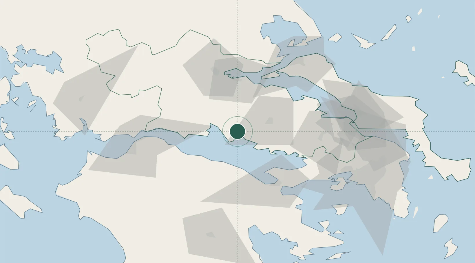
Nearby Logistics Neighbours

Cities
  1. 1Saint Nicolas6 km
  2. 2Itea20 km
  3. 3Levadhia21 km
  4. 4Galaxidi22 km
  5. 5Tithoréa22 km
Nearest neighbours — logibook spatial index (haversine) over the source coordinates
Ports
  1. 1Itea20 km
  2. 2Aigio50 km
  3. 3Achladi60 km
  4. 4Patrai80 km
  5. 5Megara Oil Terminal82 km
Nearest neighbours — logibook spatial index (haversine) over the source coordinates
Airports
  1. 1Tanagra Air Base81 km
  2. 2Elefsis Air Base88 km
  3. 3Nea Anchialos National Airport94 km
  4. 4Patras Araxos Agamemnon Airport109 km
  5. 5Skiathos Island National Airport116 km
Nearest neighbours — logibook spatial index (haversine) over the source coordinates
Trade Zones
  1. 1Free Zone of Piraeus98 km
  2. 2Free Zone of Platigiali (Astakos Etoloakarnanias)134 km
  3. 3Free Zone of Thessaloniki252 km
  4. 4Gjirokastër Freezone284 km
  5. 5Përmet Freezone285 km
Nearest neighbours — logibook spatial index (haversine) over the source coordinates
DatabookThe Record of Consolidated Knowledge
Greece beyond logistics?
Browse databook

All Sources

LocationsUN/LOCODE
UN/LOCODE — free
LocationsGeoNames
CC BY 4.0
Portsthe NGA World Port Index
Public domain (US gov)
AirportsOurAirports
Public domain
Trade Zonesthe World Bank SEZ database
CC BY 4.0
Trade ZonesOpen Zone Map
CC BY
← Greece locations