UN/LOCODE hub · Greece
GRAKO

Agios Konstantínos

38.7500°, 22.8667°
1
Transport functions

Transport Functions

Port
UN/LOCODE

Hub Profile

Place type
Populated place
GeoNames
Region
Central Greece
GeoNames
Time zone
Europe/Athens
GeoNames
Elevation
182 m
GeoNames

Location

Location of GRAKO
Natural Earth 10m (public domain) · Central Greece · GRAKO · 38.75, 22.87GoogleOSMYandex

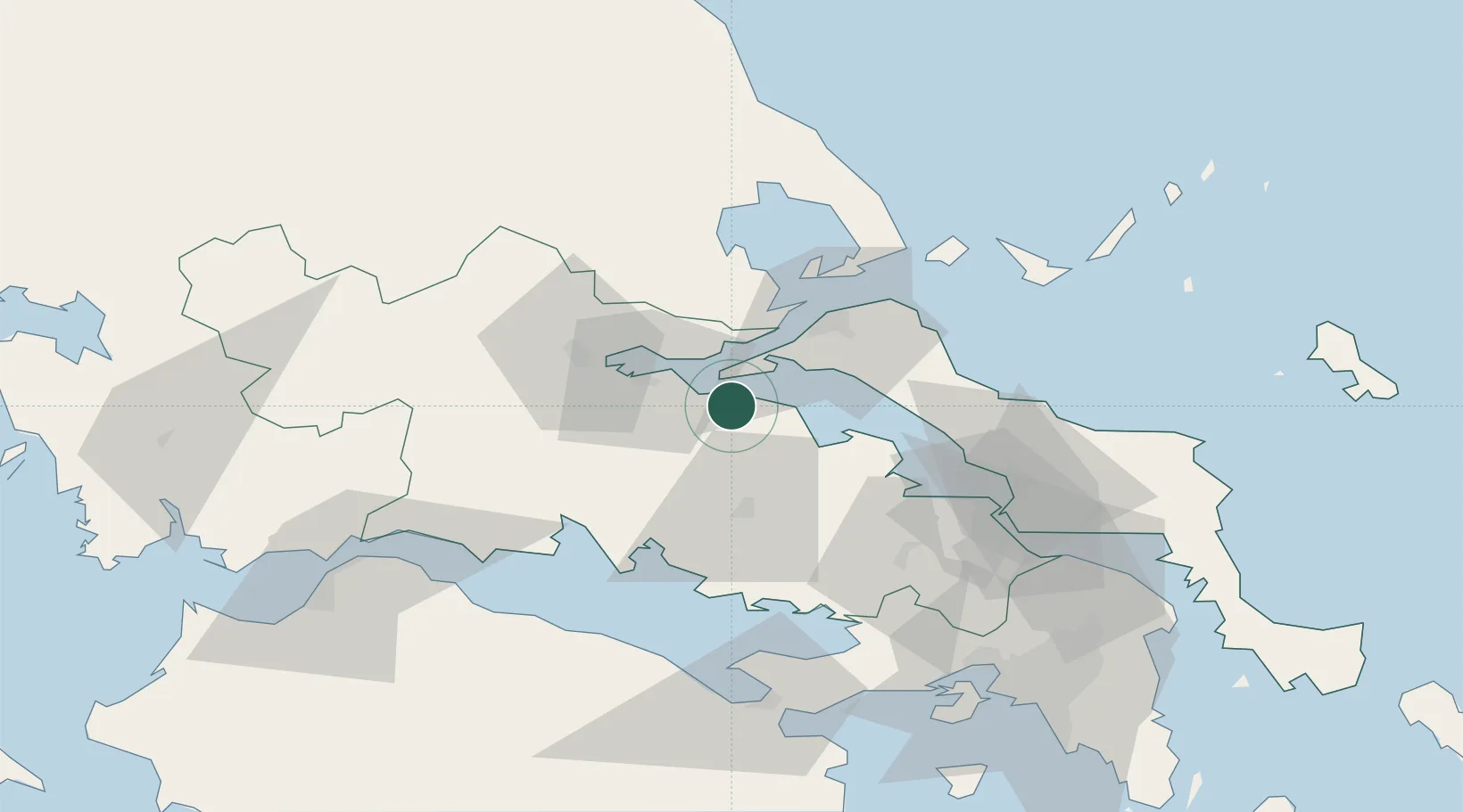
Nearby Logistics Neighbours

Cities
  1. 1Agios Georgios9 km
  2. 2Arkítsa15 km
  3. 3Yaltra15 km
  4. 4Achladi15 km
  5. 5Atalándi16 km
Nearest neighbours — logibook spatial index (haversine) over the source coordinates
Ports
  1. 1Achladi17 km
  2. 2Tsingeli46 km
  3. 3Itea53 km
  4. 4Kymassi53 km
  5. 5Volos69 km
Nearest neighbours — logibook spatial index (haversine) over the source coordinates
Airports
  1. 1Nea Anchialos National Airport53 km
  2. 2Skiathos Island National Airport73 km
  3. 3Tanagra Air Base76 km
  4. 4Elefsis Air Base97 km
  5. 5Athens Eleftherios Venizelos International Airport131 km
Nearest neighbours — logibook spatial index (haversine) over the source coordinates
Trade Zones
  1. 1Free Zone of Piraeus111 km
  2. 2Free Zone of Platigiali (Astakos Etoloakarnanias)156 km
  3. 3Free Zone of Thessaloniki210 km
  4. 4Përmet Freezone272 km
  5. 5TIDZ Gevgelija274 km
Nearest neighbours — logibook spatial index (haversine) over the source coordinates
DatabookThe Record of Consolidated Knowledge
Greece beyond logistics?
Browse databook

All Sources

LocationsUN/LOCODE
UN/LOCODE — free
Portsthe NGA World Port Index
Public domain (US gov)
AirportsOurAirports
Public domain
Trade Zonesthe World Bank SEZ database
CC BY 4.0
Trade ZonesOpen Zone Map
CC BY
← Greece locations