Transport Functions
Port
Road
Hub Profile
Place type
Populated place
Region
Central Macedonia
Population
2,202
Time zone
Europe/Athens
Elevation
87 m
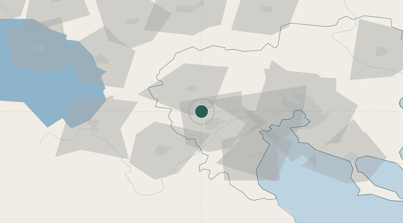
Location
Nearby Logistics Neighbours
Cities
- 1Stenimahos4 km
- 2Giannitsa29 km
- 3Platy35 km
- 4Amíndaion37 km
- 5Áhdendron41 km
Ports
- 1Thessaloniki69 km
- 2Yerakini121 km
- 3Stratoni146 km
- 4Volos158 km
- 5Tsingeli175 km
Airports
Trade Zones
- 1Free Zone of Thessaloniki68 km
- 2TIDZ Gevgelija70 km
- 3TIDZ Prilep89 km
- 4TIDZ Strumica98 km
- 5Korçë Freezone111 km
DatabookThe Record of Consolidated Knowledge
Greece beyond logistics?