Transport Functions
Rail
Road
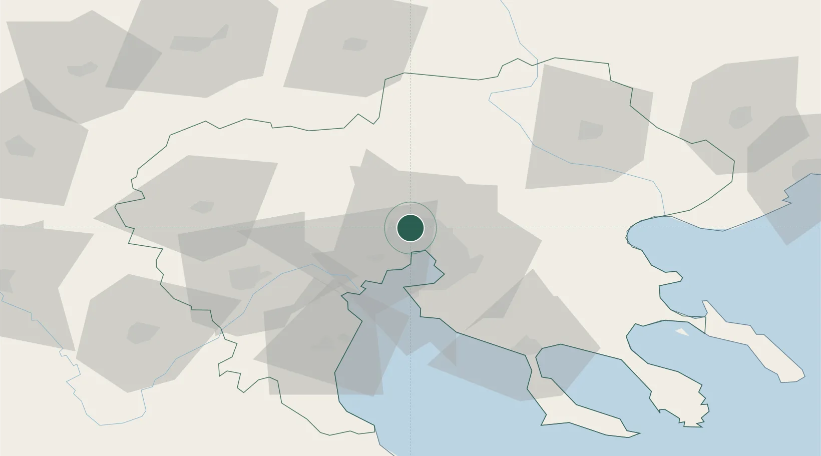
Location
Nearby Logistics Neighbours
Cities
- 1Neokhoroúdha3 km
- 2Oreokastro5 km
- 3Ankhíalos6 km
- 4Évosmon9 km
- 5Thessaloníki11 km
Ports
- 1Thessaloniki13 km
- 2Yerakini74 km
- 3Stratoni86 km
- 4Kavala132 km
- 5Volos152 km
Airports
Trade Zones
- 1Free Zone of Thessaloniki13 km
- 2TIDZ Gevgelija60 km
- 3TIDZ Strumica74 km
- 4TIDZ Radoviš105 km
- 5TIDZ Berovo108 km
DatabookThe Record of Consolidated Knowledge
Greece beyond logistics?