UN/LOCODE hub · Greece
GRKAG

Karkinagri Ikarias

37.5167°, 26.0167°
1
Transport functions

Transport Functions

Port
UN/LOCODE

Hub Profile

Region
84
GeoNames

Location

Location of GRKAG
Natural Earth 10m (public domain) · 84 · GRKAG · 37.52, 26.02GoogleOSMYandex

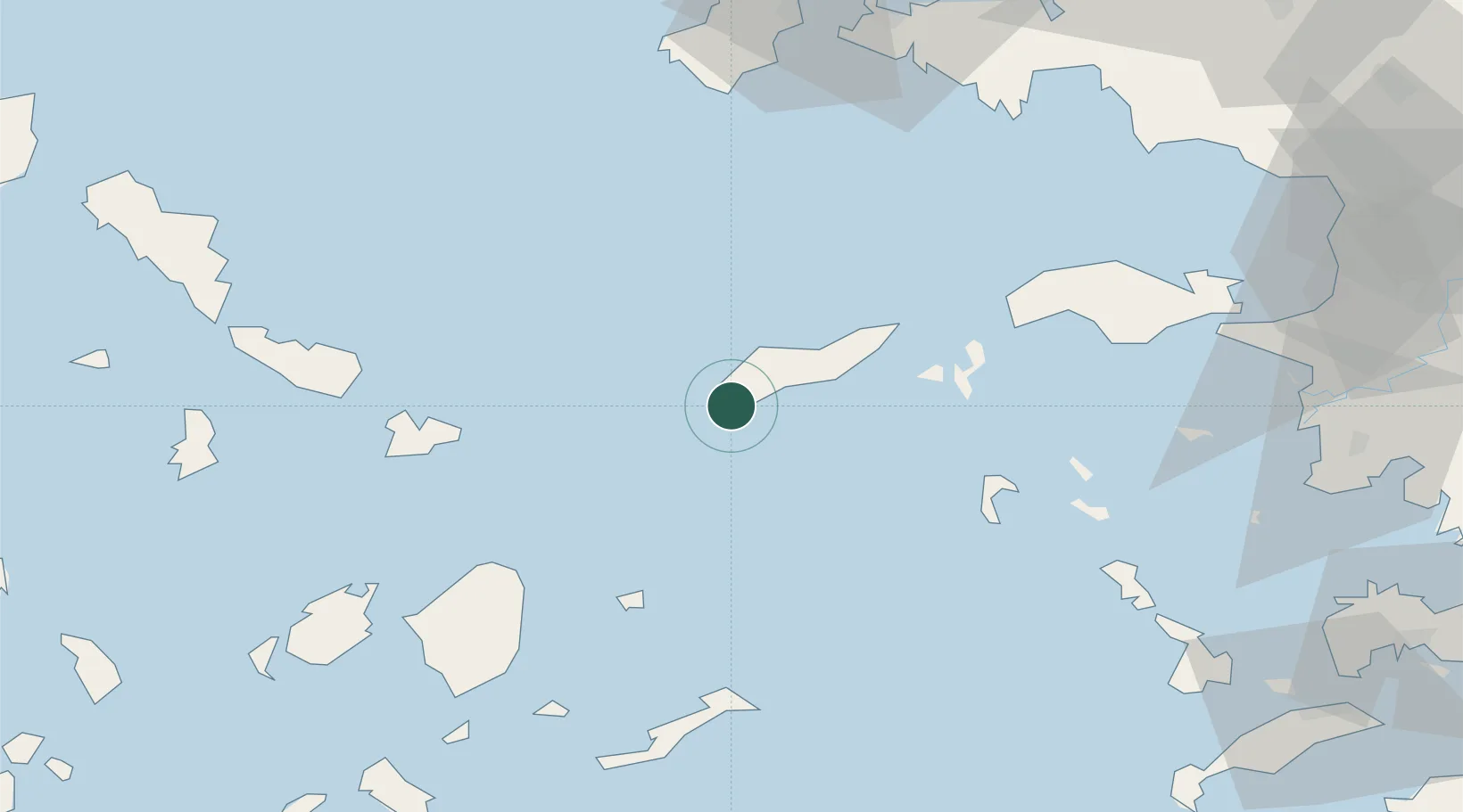
Nearby Logistics Neighbours

Cities
  1. 1Eydilos20 km
  2. 2Agios Kírykos27 km
  3. 3Thymaina Island39 km
  4. 4Foúrnoi43 km
  5. 5Donousa Kykladon50 km
Nearest neighbours — logibook spatial index (haversine) over the source coordinates
Ports
  1. 1Mikonos61 km
  2. 2Neon Karlovas67 km
  3. 3Nisos Naxos74 km
  4. 4Pithagorion84 km
  5. 5Lakki85 km
Nearest neighbours — logibook spatial index (haversine) over the source coordinates
Airports
  1. 1Ikaria Airport35 km
  2. 2Mykonos Island National Airport60 km
  3. 3Naxos Island National Airport75 km
  4. 4Leros Airport79 km
  5. 5Samos Airport81 km
Nearest neighbours — logibook spatial index (haversine) over the source coordinates
Trade Zones
  1. 1Aegean Free Zone133 km
  2. 2Izmir Ataturk Organized Industrial Zone140 km
  3. 3Izmir Free Zone146 km
  4. 4Tire Organized Industrial Zone163 km
  5. 5Manisa Organized Industrial Zone170 km
Nearest neighbours — logibook spatial index (haversine) over the source coordinates
DatabookThe Record of Consolidated Knowledge
Greece beyond logistics?
Browse databook

All Sources

LocationsUN/LOCODE
UN/LOCODE — free
Portsthe NGA World Port Index
Public domain (US gov)
AirportsOurAirports
Public domain
Trade Zonesthe World Bank SEZ database
CC BY 4.0
Trade ZonesOpen Zone Map
CC BY
← Greece locations