Transport Functions
Port
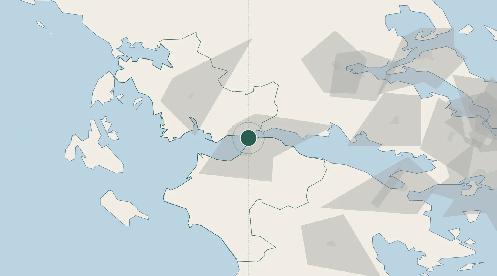
Location
Nearby Logistics Neighbours
Cities
- 1Drepano Riou7 km
- 2Návpaktos9 km
- 3Patras12 km
- 4Kryonéri15 km
- 5Evpálion17 km
Ports
- 1Patrai10 km
- 2Aigio29 km
- 3Mesolongion31 km
- 4Itea58 km
- 5Astakos60 km
Airports
Trade Zones
- 1Free Zone of Platigiali (Astakos Etoloakarnanias)60 km
- 2Free Zone of Piraeus167 km
- 3Gjirokastër Freezone237 km
- 4Përmet Freezone244 km
- 5Korçë Freezone270 km
DatabookThe Record of Consolidated Knowledge
Greece beyond logistics?