UN/LOCODE hub · Greece
GRAKH

Akhillion

39.0000°, 22.9667°
1
Transport functions

Transport Functions

Port
UN/LOCODE

Hub Profile

Region
43
GeoNames

Location

Location of GRAKH
Natural Earth 10m (public domain) · 43 · GRAKH · 39.00, 22.97GoogleOSMYandex

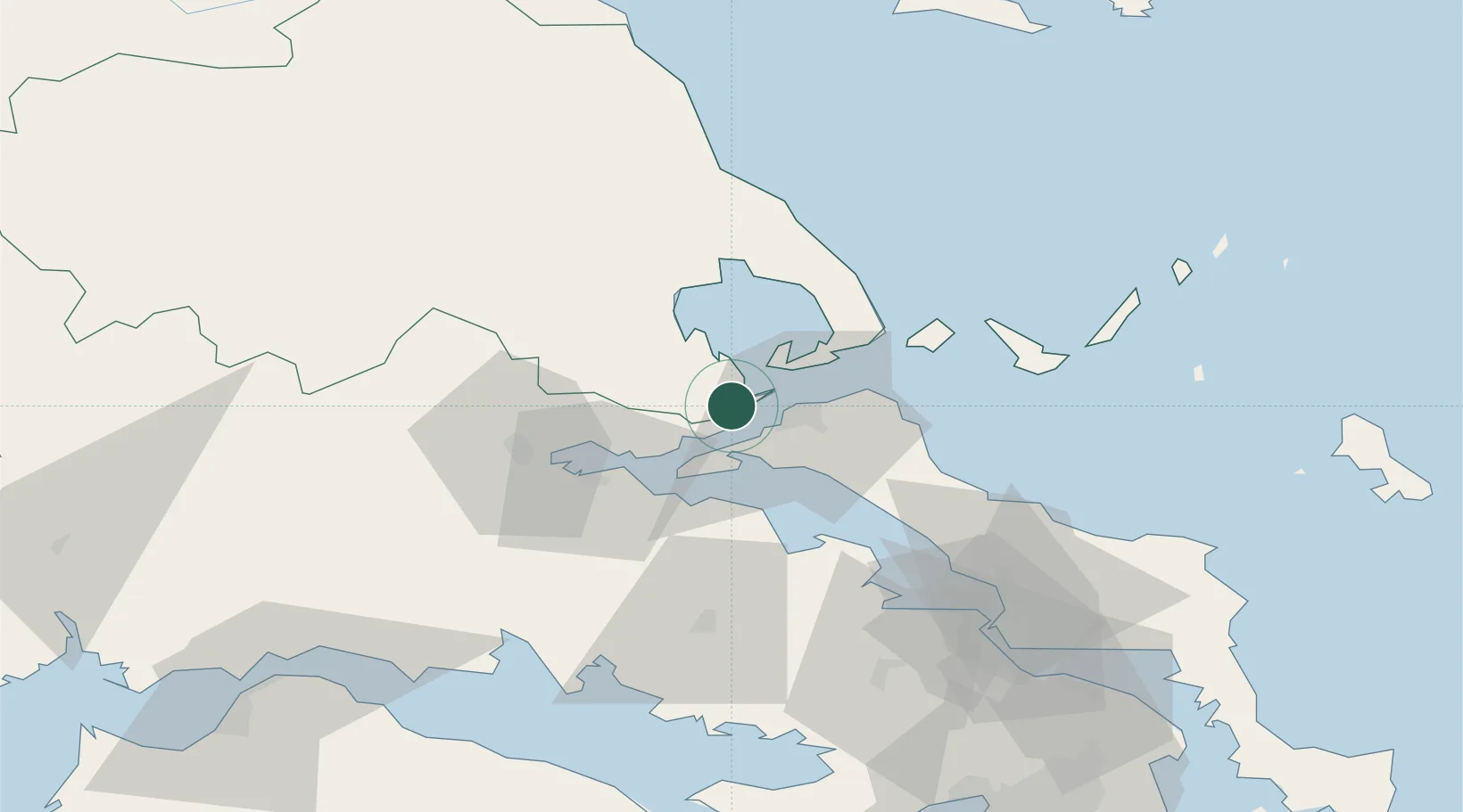
Nearby Logistics Neighbours

Cities
  1. 1Pteleos4 km
  2. 2Glyfa Fthiotidas6 km
  3. 3Agiokampos Oreon9 km
  4. 4Orei12 km
  5. 5Agia Kyriaki (Trikeri Magnisia)13 km
Nearest neighbours — logibook spatial index (haversine) over the source coordinates
Ports
  1. 1Achladi17 km
  2. 2Tsingeli21 km
  3. 3Volos41 km
  4. 4Kymassi47 km
  5. 5Itea79 km
Nearest neighbours — logibook spatial index (haversine) over the source coordinates
Airports
  1. 1Nea Anchialos National Airport29 km
  2. 2Skiathos Island National Airport50 km
  3. 3Tanagra Air Base90 km
  4. 4Elefsis Air Base116 km
  5. 5Skiros Airport132 km
Nearest neighbours — logibook spatial index (haversine) over the source coordinates
Trade Zones
  1. 1Free Zone of Piraeus130 km
  2. 2Free Zone of Platigiali (Astakos Etoloakarnanias)172 km
  3. 3Free Zone of Thessaloniki182 km
  4. 4TIDZ Gevgelija248 km
  5. 5Korçë Freezone260 km
Nearest neighbours — logibook spatial index (haversine) over the source coordinates
DatabookThe Record of Consolidated Knowledge
Greece beyond logistics?
Browse databook

All Sources

LocationsUN/LOCODE
UN/LOCODE — free
Portsthe NGA World Port Index
Public domain (US gov)
AirportsOurAirports
Public domain
Trade Zonesthe World Bank SEZ database
CC BY 4.0
Trade ZonesOpen Zone Map
CC BY
← Greece locations