UN/LOCODE hub · Greece
GRGLY

Glyfa Fthiotidas

38.9500°, 22.9667°
1
Transport functions

Transport Functions

Port
UN/LOCODE

Hub Profile

Region
06
GeoNames

Location

Location of GRGLY
Natural Earth 10m (public domain) · 06 · GRGLY · 38.95, 22.97GoogleOSMYandex

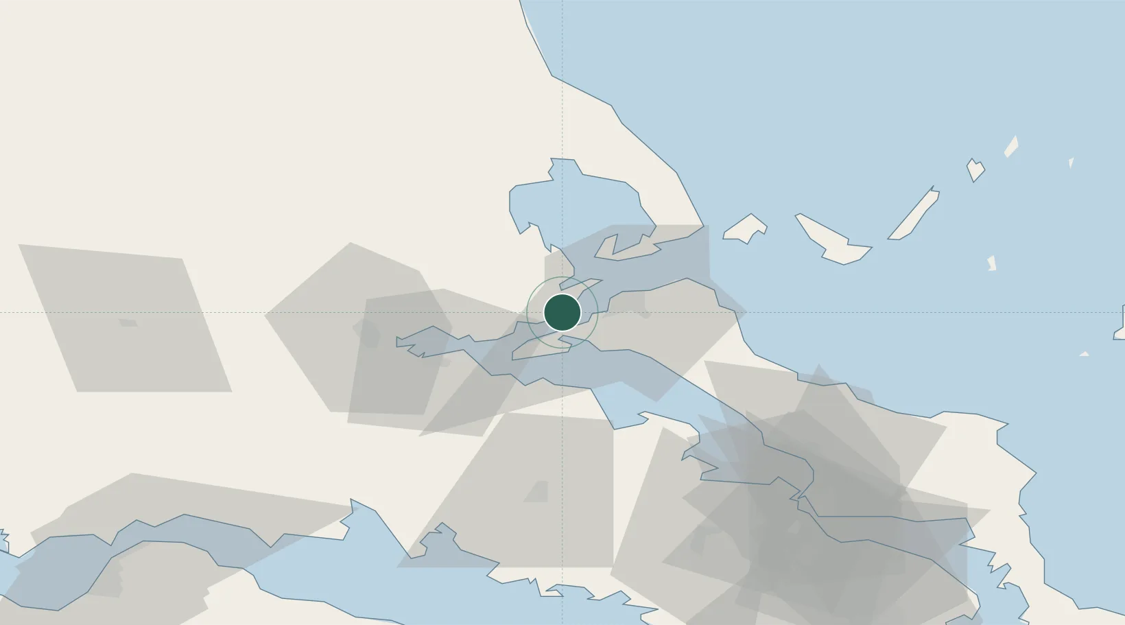
Nearby Logistics Neighbours

Cities
  1. 1Akhillion6 km
  2. 2Agiokampos Oreon6 km
  3. 3Pteleos9 km
  4. 4Orei10 km
  5. 5Edipsos11 km
Nearest neighbours — logibook spatial index (haversine) over the source coordinates
Ports
  1. 1Achladi14 km
  2. 2Tsingeli26 km
  3. 3Kymassi45 km
  4. 4Volos46 km
  5. 5Itea75 km
Nearest neighbours — logibook spatial index (haversine) over the source coordinates
Airports
  1. 1Nea Anchialos National Airport34 km
  2. 2Skiathos Island National Airport53 km
  3. 3Tanagra Air Base86 km
  4. 4Elefsis Air Base111 km
  5. 5Skiros Airport132 km
Nearest neighbours — logibook spatial index (haversine) over the source coordinates
Trade Zones
  1. 1Free Zone of Piraeus125 km
  2. 2Free Zone of Platigiali (Astakos Etoloakarnanias)170 km
  3. 3Free Zone of Thessaloniki188 km
  4. 4TIDZ Gevgelija253 km
  5. 5Korçë Freezone264 km
Nearest neighbours — logibook spatial index (haversine) over the source coordinates
DatabookThe Record of Consolidated Knowledge
Greece beyond logistics?
Browse databook

All Sources

LocationsUN/LOCODE
UN/LOCODE — free
Portsthe NGA World Port Index
Public domain (US gov)
AirportsOurAirports
Public domain
Trade Zonesthe World Bank SEZ database
CC BY 4.0
Trade ZonesOpen Zone Map
CC BY
← Greece locations