Transport Functions
Port
Hub Profile
Place type
Populated place
Region
Central Greece
Time zone
Europe/Athens
Elevation
222 m
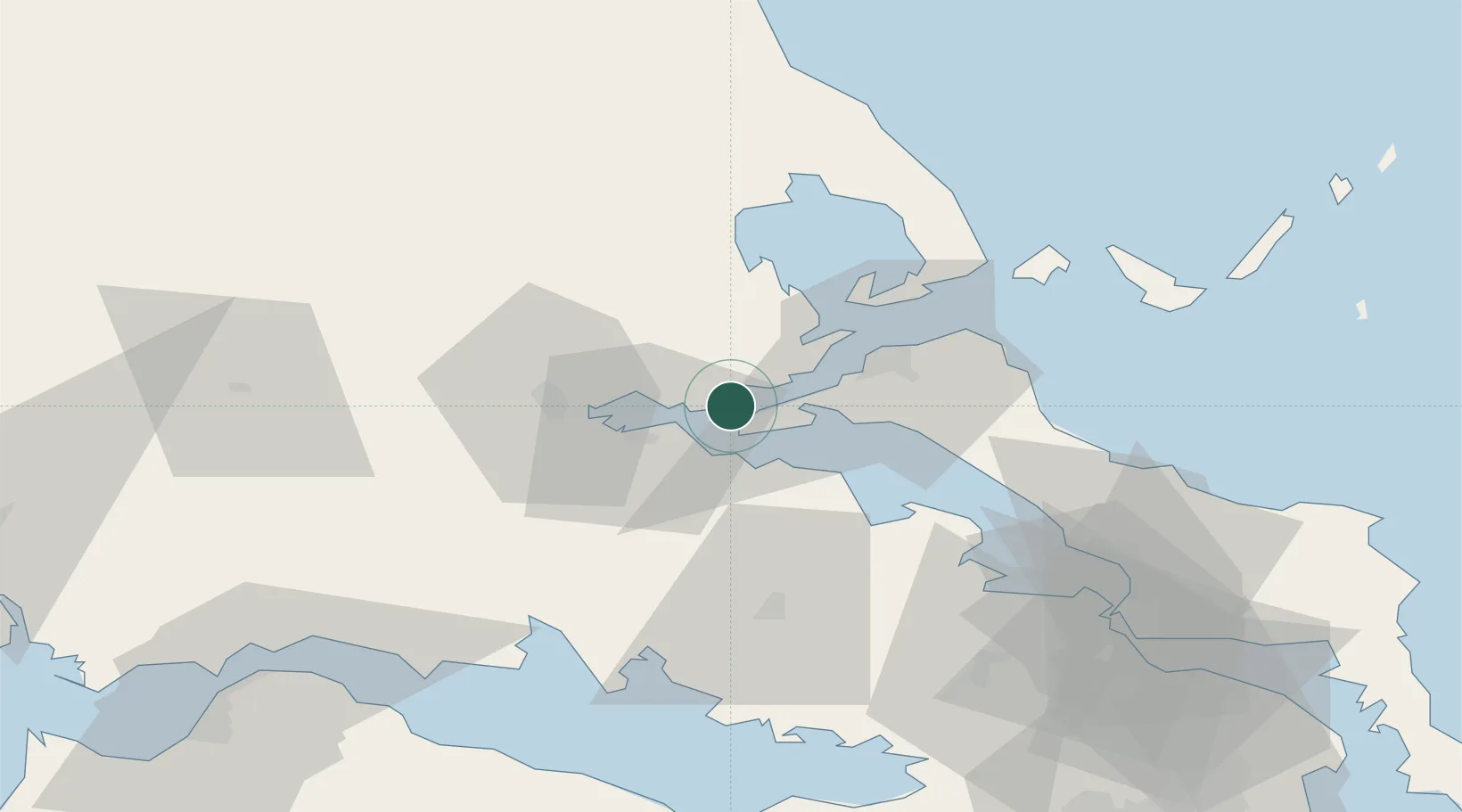
Location
Nearby Logistics Neighbours
Cities
- 1Pelasyía8 km
- 2Agios Georgios8 km
- 3Yaltra15 km
- 4Glyfa Fthiotidas15 km
- 5Agios Konstantínos15 km
Airports
Trade Zones
- 1Free Zone of Piraeus125 km
- 2Free Zone of Platigiali (Astakos Etoloakarnanias)156 km
- 3Free Zone of Thessaloniki195 km
- 4TIDZ Gevgelija259 km
- 5Përmet Freezone259 km
DatabookThe Record of Consolidated Knowledge
Greece beyond logistics?