UN/LOCODE hub · Greece
GRPEL

Pelasyía

38.9500°, 22.8333°
2
Transport functions

Transport Functions

Port
Road
UN/LOCODE

Hub Profile

Region
06
GeoNames

Location

Location of GRPEL
Natural Earth 10m (public domain) · 06 · GRPEL · 38.95, 22.83GoogleOSMYandex

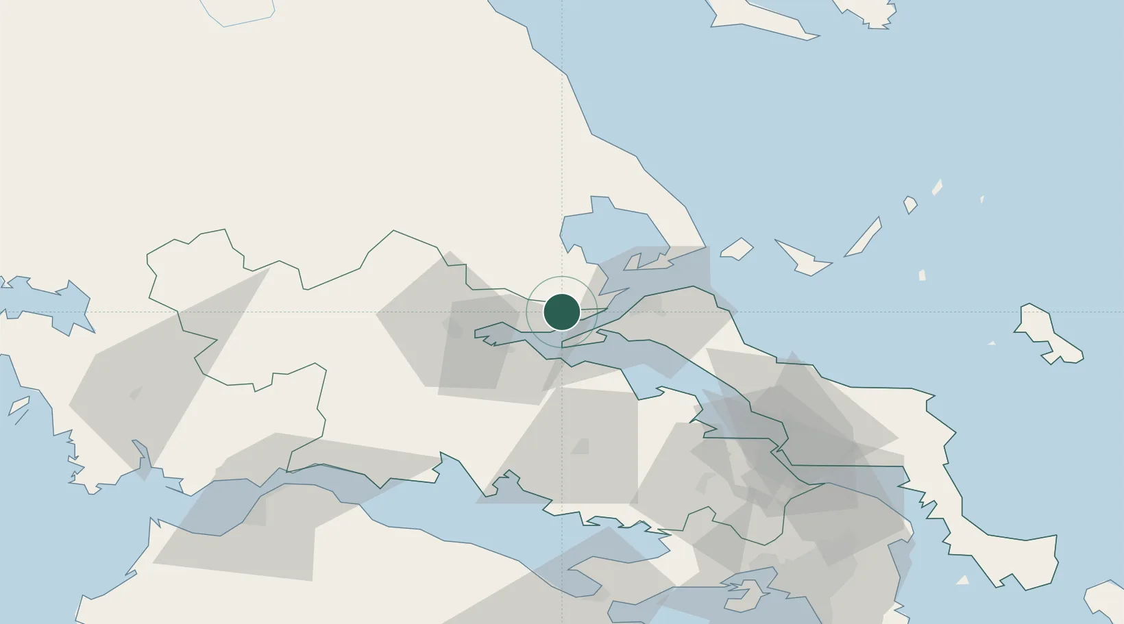
Nearby Logistics Neighbours

Cities
  1. 1Achladi8 km
  2. 2Glyfa Fthiotidas12 km
  3. 3Akhillion13 km
  4. 4Agios Georgios14 km
  5. 5Pteleos16 km
Nearest neighbours — logibook spatial index (haversine) over the source coordinates
Ports
  1. 1Achladi6 km
  2. 2Tsingeli24 km
  3. 3Volos47 km
  4. 4Kymassi56 km
  5. 5Itea68 km
Nearest neighbours — logibook spatial index (haversine) over the source coordinates
Airports
  1. 1Nea Anchialos National Airport30 km
  2. 2Skiathos Island National Airport63 km
  3. 3Tanagra Air Base93 km
  4. 4Elefsis Air Base117 km
  5. 5Skiros Airport143 km
Nearest neighbours — logibook spatial index (haversine) over the source coordinates
Trade Zones
  1. 1Free Zone of Piraeus131 km
  2. 2Free Zone of Platigiali (Astakos Etoloakarnanias)159 km
  3. 3Free Zone of Thessaloniki188 km
  4. 4TIDZ Gevgelija252 km
  5. 5Korçë Freezone256 km
Nearest neighbours — logibook spatial index (haversine) over the source coordinates
DatabookThe Record of Consolidated Knowledge
Greece beyond logistics?
Browse databook

All Sources

LocationsUN/LOCODE
UN/LOCODE — free
Portsthe NGA World Port Index
Public domain (US gov)
AirportsOurAirports
Public domain
Trade Zonesthe World Bank SEZ database
CC BY 4.0
Trade ZonesOpen Zone Map
CC BY
← Greece locations