Runway & Layout

Airport Specifications
IATA code
JUK
ICAO code
BGUT
Airport class
Heliport
Scheduled service
Yes
Served city
Ukkusissat
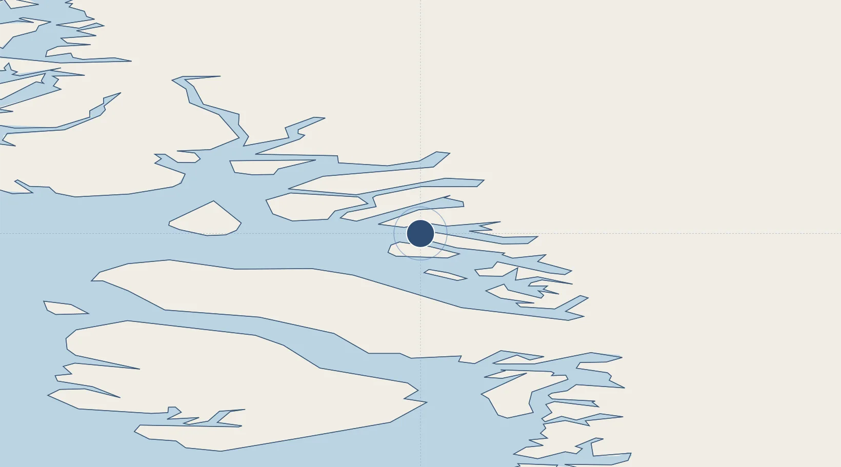
Location
Nearby Logistics Neighbours
Airports
- 1Saattut Heliport28 km
- 2Uummannaq Heliport42 km
- 3Qaarsut Airport46 km
- 4Illorsuit Heliport64 km
- 5Ikerasak Heliport65 km
Cities
- 1Maarmorliik24 km
- 2Kullorsuaq430 km
- 3Kangerlussuaq Havn456 km
- 4Seqi Olivine Mine677 km
- 5Toqqusaq688 km
Ports
- 1Marmorilik24 km
- 2Uummannaq43 km
- 3Kajalleq Upernavik177 km
- 4Illulissat (Jakobshavn)206 km
- 5Qeqertarsuaq211 km
Trade Zones
- 1Crossroads Business Park2462 km
- 2FTZ No. 179 Madawaska2782 km
- 3Cape Breton Regional Municipality Foreign Trade Zone2807 km
- 4Québec City FTZ2882 km
- 5Saint John2967 km
DatabookThe Record of Consolidated Knowledge
Greenland beyond logistics?