Runway & Layout

Airport Specifications
IATA code
IKE
ICAO code
BGIA
Airport class
Heliport
Scheduled service
Yes
Served city
Ikerasak
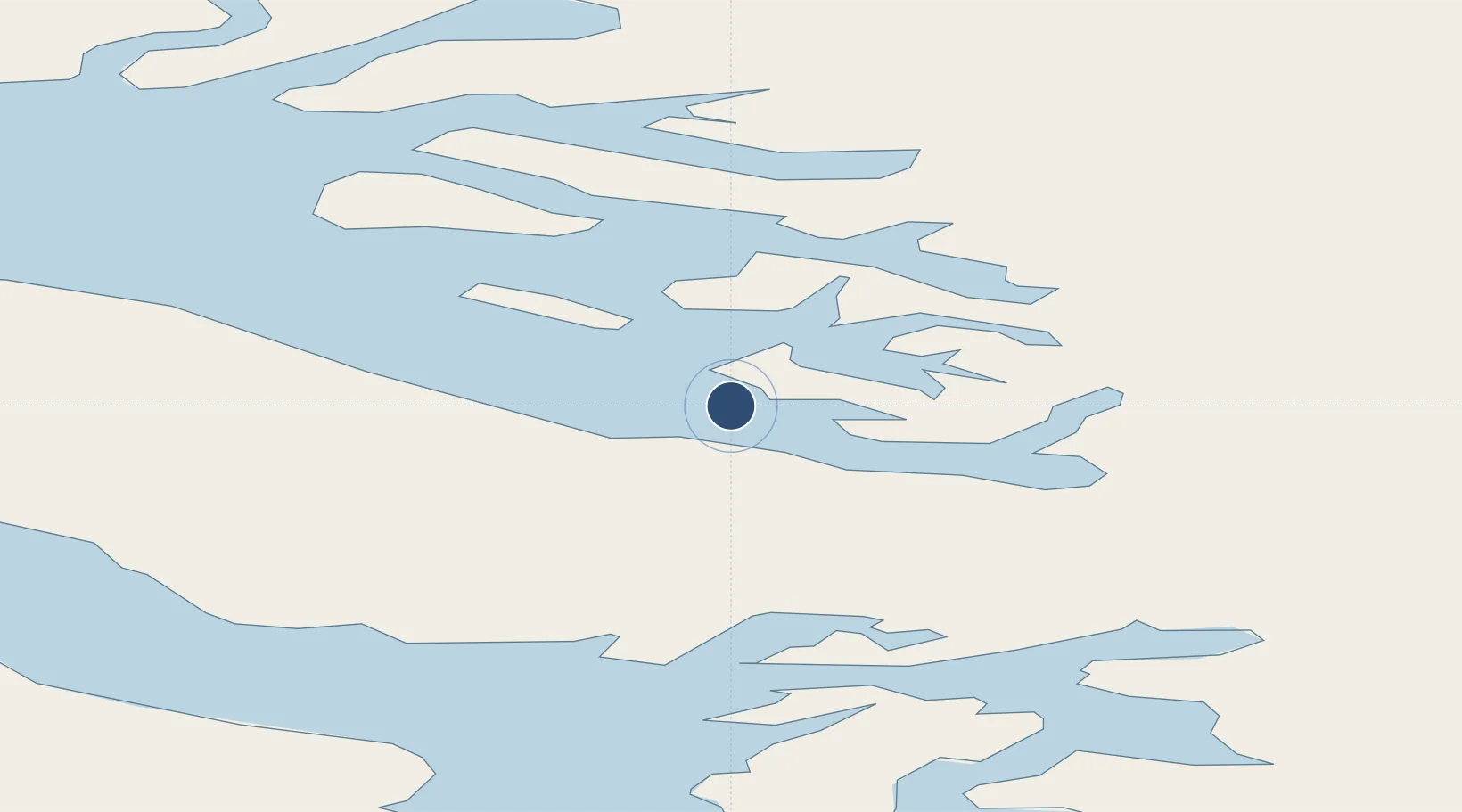
Location
Nearby Logistics Neighbours
Airports
- 1Uummannaq Heliport36 km
- 2Saattut Heliport37 km
- 3Qeqertaq Heliport56 km
- 4Qaarsut Airport58 km
- 5Saqqaq Heliport59 km
Cities
- 1Maarmorliik71 km
- 2Kangerlussuaq Havn393 km
- 3Kullorsuaq495 km
- 4Seqi Olivine Mine615 km
- 5Toqqusaq627 km
Ports
- 1Uummannaq35 km
- 2Marmorilik71 km
- 3Illulissat (Jakobshavn)143 km
- 4Qeqertarsuaq165 km
- 5Qasigiannguit-Christianshab187 km
Trade Zones
- 1Crossroads Business Park2403 km
- 2FTZ No. 179 Madawaska2738 km
- 3Cape Breton Regional Municipality Foreign Trade Zone2754 km
- 4Québec City FTZ2842 km
- 5Saint John2919 km
DatabookThe Record of Consolidated Knowledge
Greenland beyond logistics?