Small airport · Greenland
Qaarsut AirportBGUQ
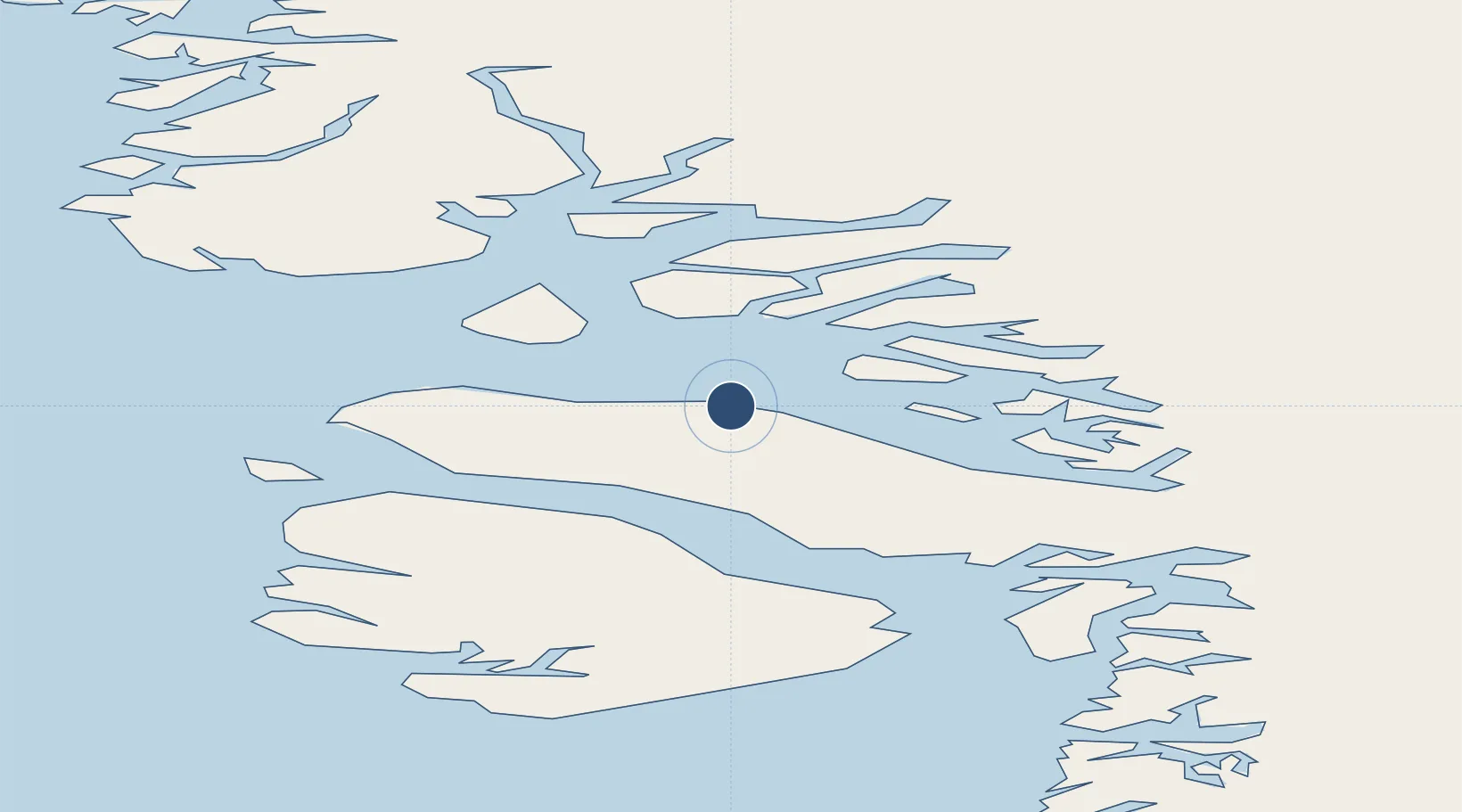
70.7342°, -52.6962°
2,953 ft
Longest runway
1
Runways
289 ft
Elevation
Runway & Layout

Navaids
QA DME Uummannaq 110.15 MHz
UU NDB Uummannaq 285 kHz
Runways · 1
| Runway | Dimensions | Surface | True heading | Lit |
|---|---|---|---|---|
| 15/33 | 2,953 × 98ft | GRAVEL | — | — |
Airport Specifications
IATA code
JQA
ICAO code
BGUQ
Airport class
Small airport
Scheduled service
Yes
Runway surface
GRAVEL
Served city
Uummannaq
Location
Nearby Logistics Neighbours
Airports
- 1Uummannaq Heliport22 km
- 2Niaqornat Heliport36 km
- 3Saattut Heliport40 km
- 4Ukkusissat Heliport46 km
- 5Ikerasak Heliport58 km
Cities
- 1Maarmorliik68 km
- 2Kangerlussuaq Havn425 km
- 3Kullorsuaq453 km
- 4Seqi Olivine Mine643 km
- 5Toqqusaq653 km
Ports
- 1Uummannaq23 km
- 2Marmorilik68 km
- 3Qeqertarsuaq170 km
- 4Illulissat (Jakobshavn)179 km
- 5Kajalleq Upernavik187 km
Trade Zones
- 1Crossroads Business Park2425 km
- 2FTZ No. 179 Madawaska2738 km
- 3Cape Breton Regional Municipality Foreign Trade Zone2766 km
- 4Québec City FTZ2837 km
- 5Saint John2923 km
DatabookThe Record of Consolidated Knowledge
Greenland beyond logistics?