Runway & Layout

Airport Specifications
IATA code
SAE
ICAO code
BGST
Airport class
Heliport
Scheduled service
Yes
Served city
Saattut
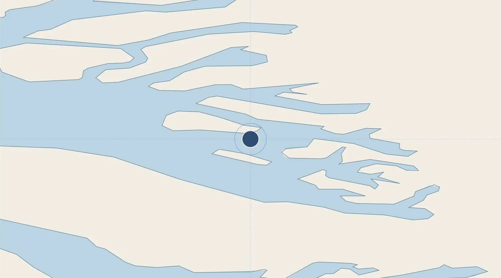
Location
Nearby Logistics Neighbours
Airports
- 1Uummannaq Heliport23 km
- 2Ukkusissat Heliport28 km
- 3Ikerasak Heliport37 km
- 4Qaarsut Airport40 km
- 5Niaqornat Heliport74 km
Cities
- 1Maarmorliik38 km
- 2Kangerlussuaq Havn428 km
- 3Kullorsuaq458 km
- 4Seqi Olivine Mine650 km
- 5Toqqusaq661 km
Ports
- 1Uummannaq24 km
- 2Marmorilik38 km
- 3Illulissat (Jakobshavn)178 km
- 4Qeqertarsuaq190 km
- 5Kajalleq Upernavik203 km
Trade Zones
- 1Crossroads Business Park2436 km
- 2FTZ No. 179 Madawaska2763 km
- 3Cape Breton Regional Municipality Foreign Trade Zone2784 km
- 4Québec City FTZ2864 km
- 5Saint John2946 km
DatabookThe Record of Consolidated Knowledge
Greenland beyond logistics?