Transport Functions
Multimodal
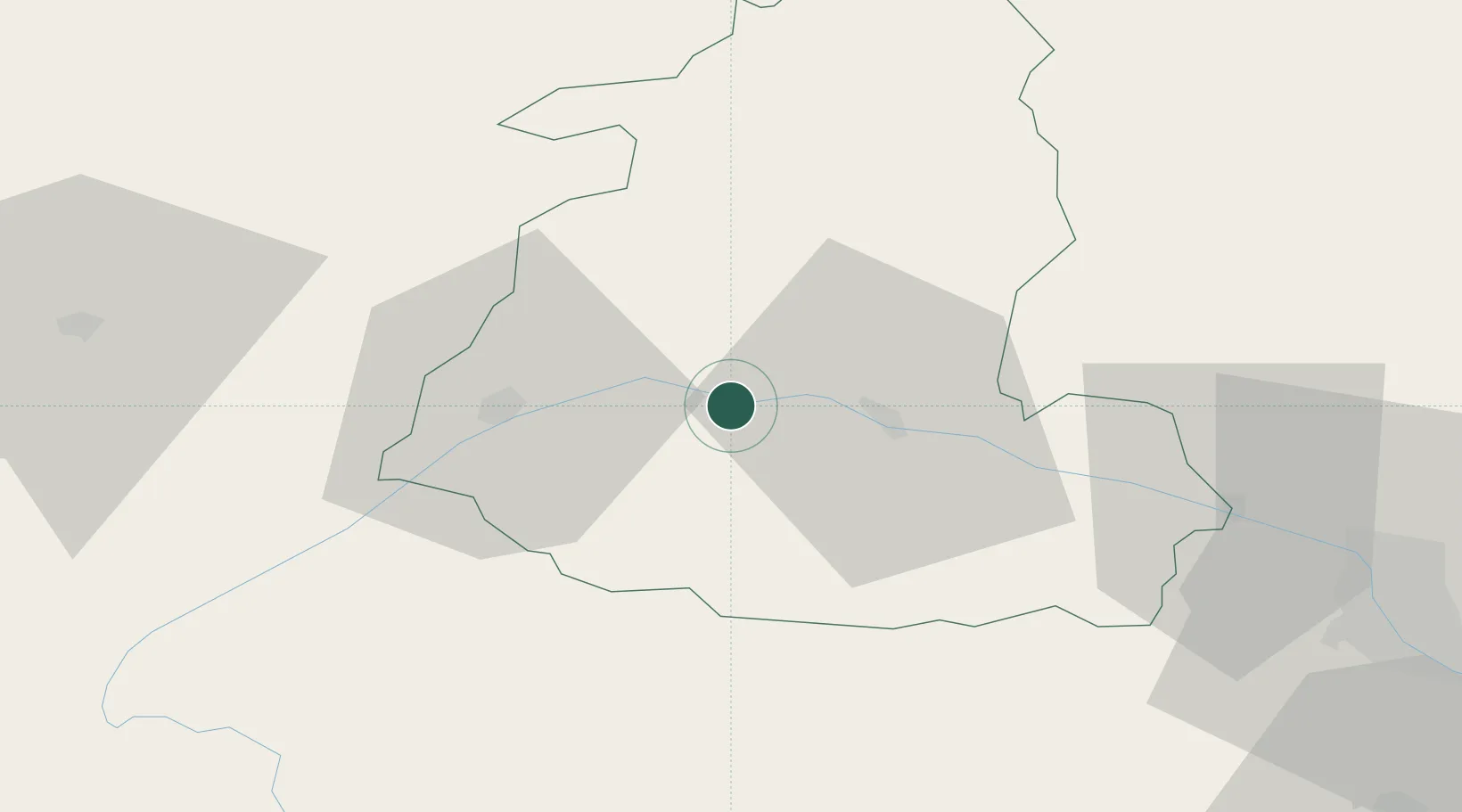
Hub Profile
Place type
Provincial seat
Region
Shida Kartli
Population
6,746
Time zone
Asia/Tbilisi
Elevation
627 m
Location
Nearby Logistics Neighbours
Ports
- 1Supsa Marine Terminal181 km
- 2Batumi191 km
- 3Hopa218 km
- 4Sokhumi262 km
- 5Rize301 km
Airports
- 1Natakhtari Airfield68 km
- 2Ambrolauri Airport85 km
- 3Tbilisi Soganlug Air Base95 km
- 4Tbilisi International Airport96 km
- 5Tbilisi Marneuli Air Base96 km
Trade Zones
DatabookThe Record of Consolidated Knowledge
Georgia beyond logistics?