Runway & Layout

Airport Specifications
ICAO code
UGSA
Airport class
Small airport
Scheduled service
Yes
Served city
Natakhtari
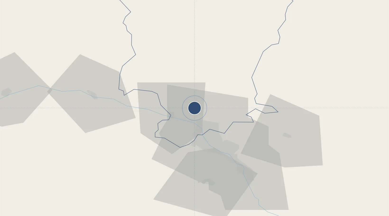
Location
Nearby Logistics Neighbours
Airports
Ports
- 1Supsa Marine Terminal248 km
- 2Batumi256 km
- 3Hopa281 km
- 4Sokhumi328 km
- 5Rize362 km
Trade Zones
DatabookThe Record of Consolidated Knowledge
Georgia beyond logistics?