Transport Functions
Multimodal
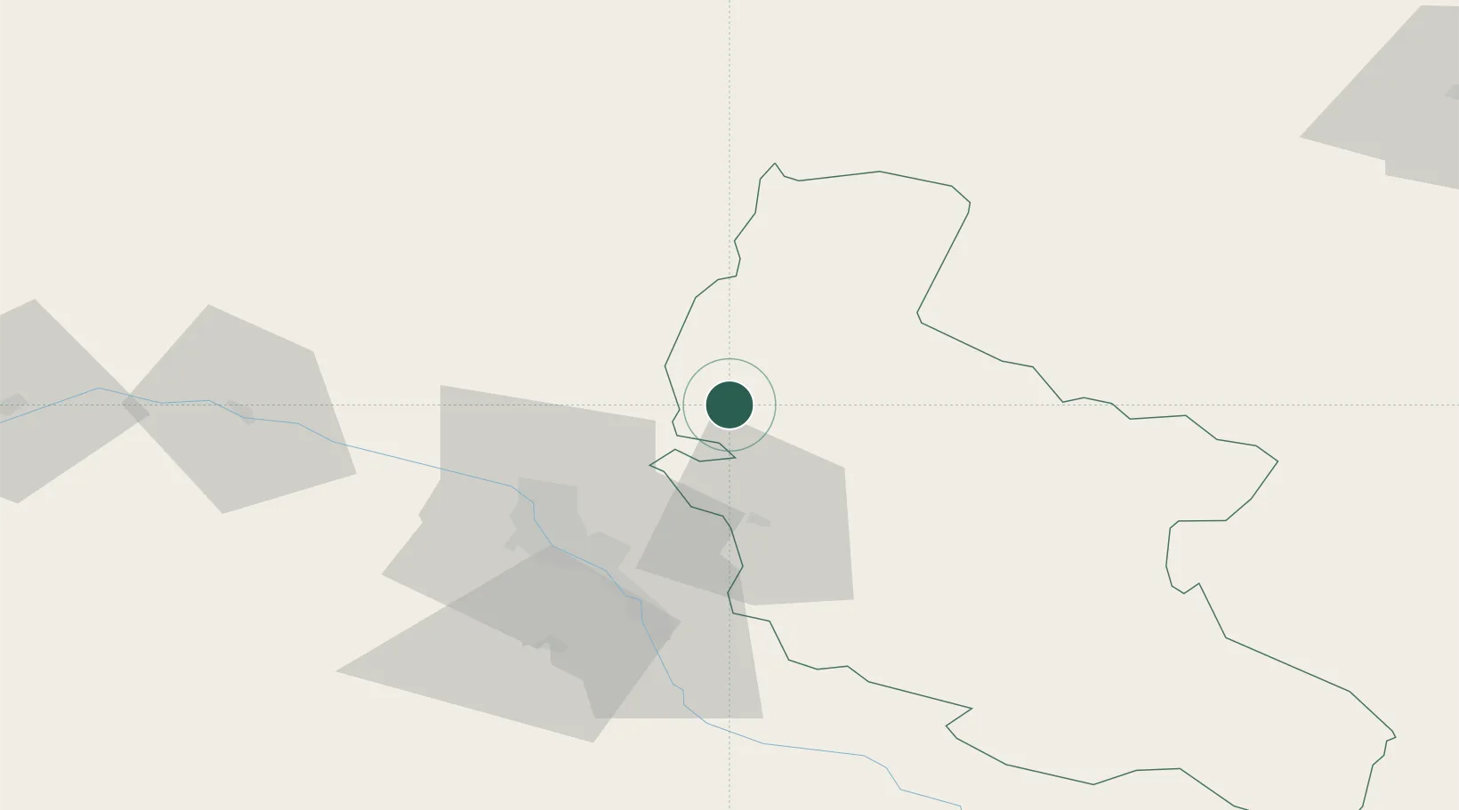
Hub Profile
Place type
Populated place
Region
Kakheti
Time zone
Asia/Tbilisi
Elevation
586 m
Location
Nearby Logistics Neighbours
Ports
- 1Supsa Marine Terminal288 km
- 2Batumi297 km
- 3Hopa322 km
- 4Sokhumi362 km
- 5Rize404 km
Airports
- 1Natakhtari Airfield42 km
- 2Tbilisi International Airport44 km
- 3Vaziani Air Base45 km
- 4Tbilisi Soganlug Air Base46 km
- 5Tbilisi Marneuli Air Base71 km
Trade Zones
- 1Tbilisi Free Industrial Zone36 km
- 2Ecos Free Economic Zone167 km
- 3Gyumri Eurasian Logistic Park180 km
- 4Jrvezh Engineering City208 km
- 5Mingachevir Industrial Park209 km
DatabookThe Record of Consolidated Knowledge
Georgia beyond logistics?