Transport Functions
Rail
Road
Airport
Hub Profile
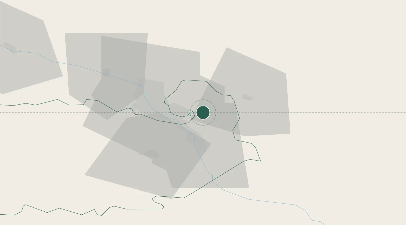
Place type
Populated place
Region
Kvemo Kartli
Time zone
Asia/Tbilisi
Elevation
586 m
Location
Nearby Logistics Neighbours
Ports
- 1Supsa Marine Terminal280 km
- 2Batumi282 km
- 3Hopa305 km
- 4Sokhumi364 km
- 5Rize384 km
Airports
Trade Zones
- 1Tbilisi Free Industrial Zone21 km
- 2Ecos Free Economic Zone129 km
- 3Gyumri Eurasian Logistic Park144 km
- 4Jrvezh Engineering City169 km
- 5Alliance Free Zone173 km
DatabookThe Record of Consolidated Knowledge
Georgia beyond logistics?