Transport Functions
Multimodal
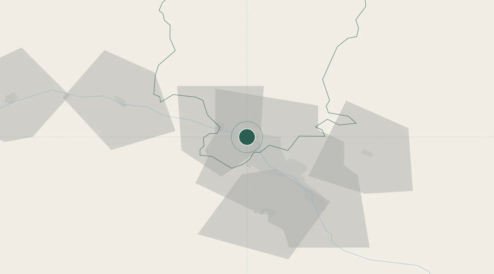
Hub Profile
Place type
Regional capital
Region
Mtskheta-Mtianeti
Population
7,380
Time zone
Asia/Tbilisi
Elevation
476 m
Location
Nearby Logistics Neighbours
Ports
- 1Supsa Marine Terminal248 km
- 2Batumi254 km
- 3Hopa278 km
- 4Sokhumi331 km
- 5Rize359 km
Airports
- 1Natakhtari Airfield10 km
- 2Tbilisi International Airport28 km
- 3Tbilisi Soganlug Air Base28 km
- 4Vaziani Air Base36 km
- 5Tbilisi Marneuli Air Base42 km
Trade Zones
DatabookThe Record of Consolidated Knowledge
Georgia beyond logistics?