Transport Functions
Multimodal
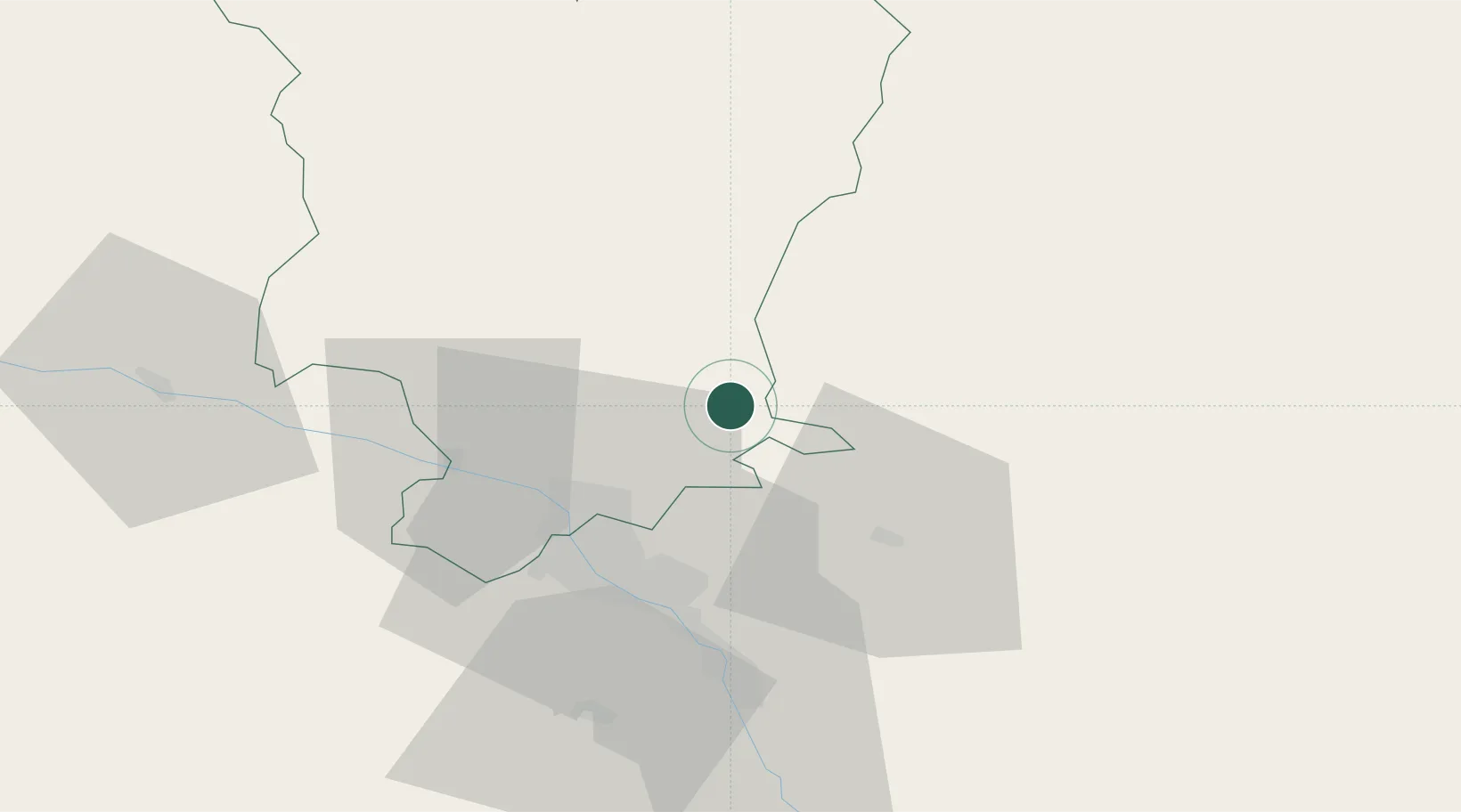
Hub Profile
Place type
Populated place
Region
Mtskheta-Mtianeti
Time zone
Asia/Tbilisi
Elevation
1,027 m
Location
Nearby Logistics Neighbours
Ports
- 1Supsa Marine Terminal273 km
- 2Batumi281 km
- 3Hopa306 km
- 4Sokhumi350 km
- 5Rize388 km
Airports
- 1Natakhtari Airfield26 km
- 2Tbilisi International Airport34 km
- 3Tbilisi Soganlug Air Base36 km
- 4Vaziani Air Base38 km
- 5Tbilisi Marneuli Air Base60 km
Trade Zones
DatabookThe Record of Consolidated Knowledge
Georgia beyond logistics?