Transport Functions
Multimodal
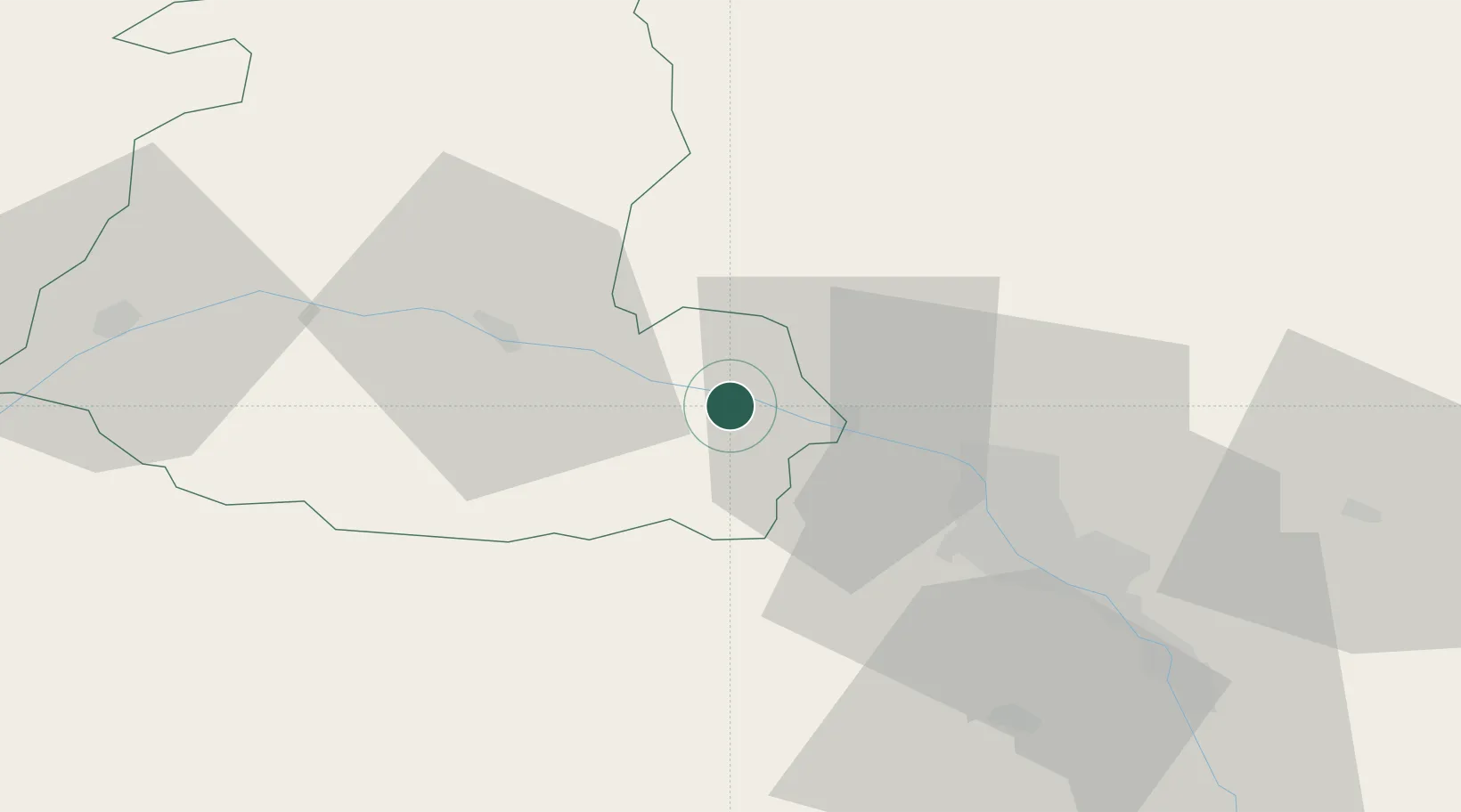
Hub Profile
Place type
Provincial seat
Region
Shida Kartli
Population
12,319
Time zone
Asia/Tbilisi
Elevation
568 m
Location
Nearby Logistics Neighbours
Ports
- 1Supsa Marine Terminal224 km
- 2Batumi231 km
- 3Hopa256 km
- 4Sokhumi306 km
- 5Rize338 km
Airports
- 1Natakhtari Airfield25 km
- 2Tbilisi Soganlug Air Base51 km
- 3Tbilisi International Airport52 km
- 4Tbilisi Marneuli Air Base58 km
- 5Vaziani Air Base59 km
Trade Zones
DatabookThe Record of Consolidated Knowledge
Georgia beyond logistics?