Transport Functions
Rail
Road
Hub Profile
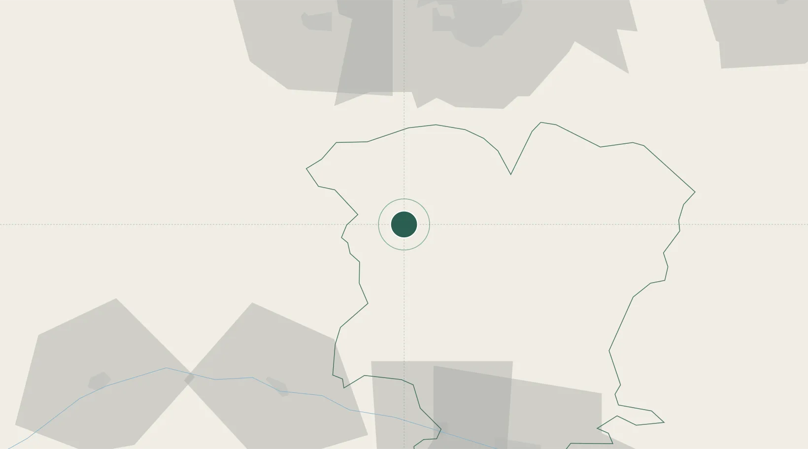
Place type
Populated place
Region
Mtskheta-Mtianeti
Population
10,000
Time zone
Asia/Tbilisi
Elevation
2,223 m
Location
Nearby Logistics Neighbours
Ports
- 1Supsa Marine Terminal230 km
- 2Batumi250 km
- 3Hopa279 km
- 4Sokhumi290 km
- 5Rize363 km
Airports
Trade Zones
DatabookThe Record of Consolidated Knowledge
Georgia beyond logistics?