Transport Functions
Multimodal
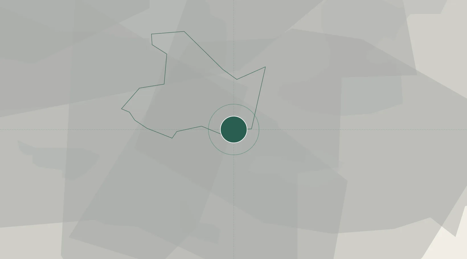
Hub Profile
Place type
Populated place
Region
England
Time zone
Europe/London
Elevation
108 m
Location
Nearby Logistics Neighbours
Cities
- 1Barston4 km
- 2Leamington11 km
- 3Coventry11 km
- 4Sheldon13 km
- 5Small Heath15 km
Airports
- 1Birmingham Airport13 km
- 2Coventry Airport13 km
- 3RAF Cosford54 km
- 4East Midlands Airport58 km
- 5Gloucestershire Airport61 km
Trade Zones
DatabookThe Record of Consolidated Knowledge
United Kingdom beyond logistics?