UN/LOCODE hub · United Kingdom
GBZBJ
Hatfield Peverel
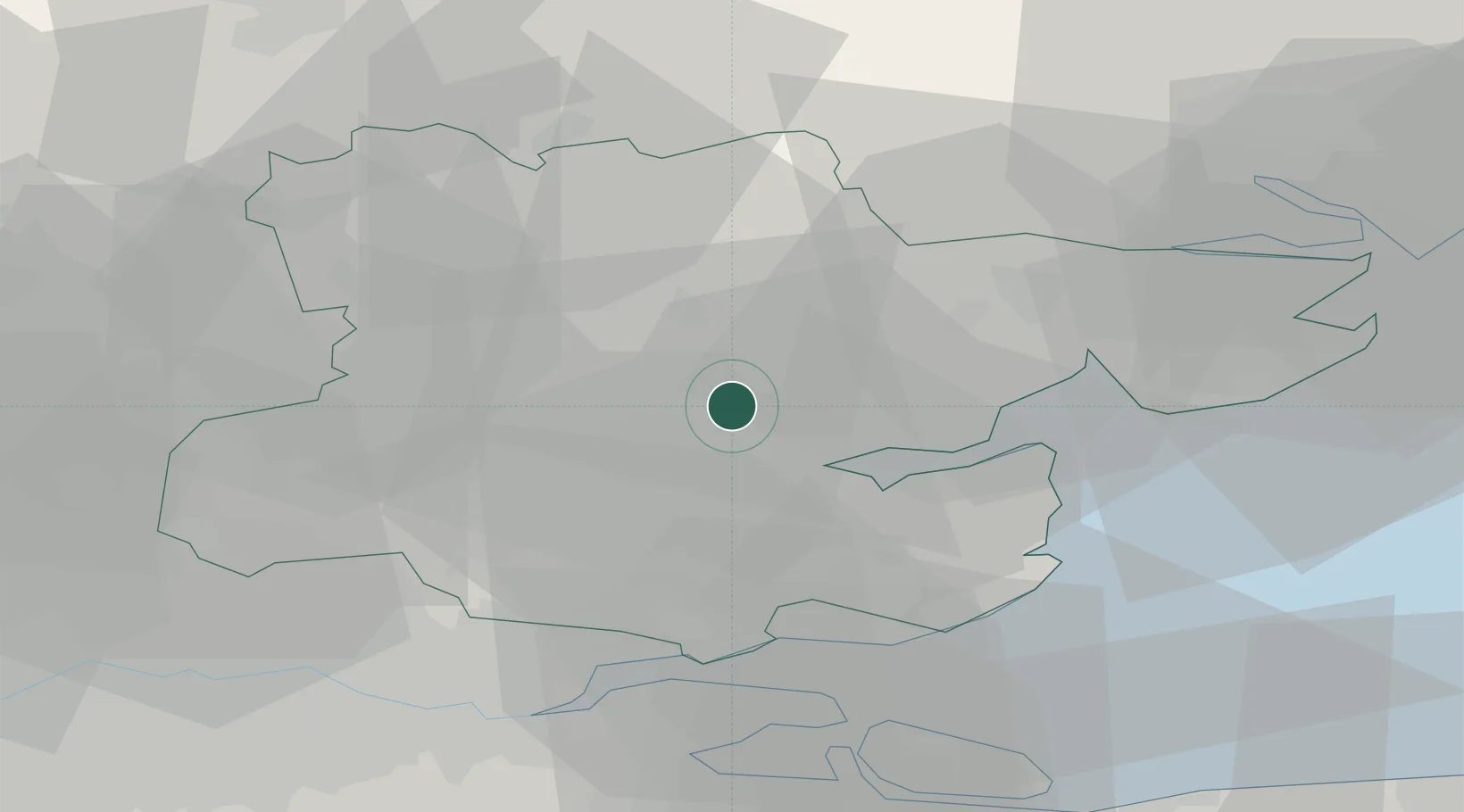
51.7833°, 0.6000°
3,950
Population
2
Transport functions
Transport Functions
Road
Multimodal
Hub Profile
Place type
Populated place
Region
England
Population
3,950
Time zone
Europe/London
Elevation
46 m
Location
Nearby Logistics Neighbours
Cities
- 1Heybridge10 km
- 2Widford14 km
- 3Thorpe Bay15 km
- 4Rettendon15 km
- 5Felsted16 km
Ports
- 1Colchester24 km
- 2Sheerness39 km
- 3Isle Of Grain40 km
- 4Thamesport40 km
- 5Tilbury40 km
Airports
- 1London Southend Airport25 km
- 2London Stansted Airport28 km
- 3Wattisham Airfield45 km
- 4London City Airport49 km
- 5Cambridge City Airport55 km
Trade Zones
DatabookThe Record of Consolidated Knowledge
United Kingdom beyond logistics?