Transport Functions
Multimodal
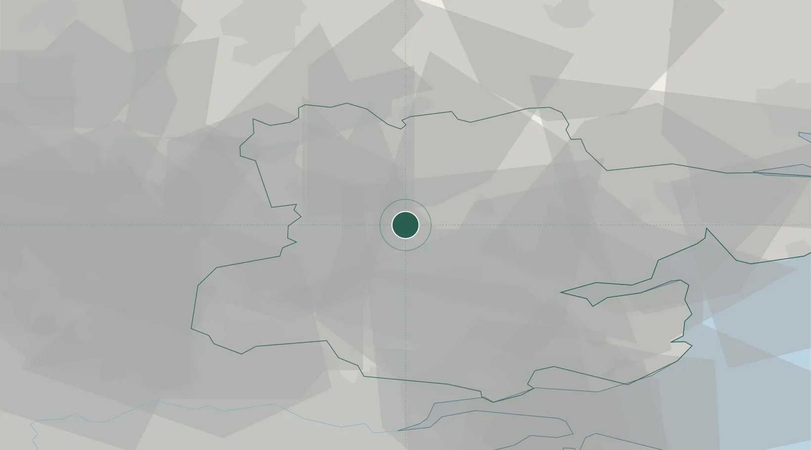
Hub Profile
Place type
Populated place
Region
England
Time zone
Europe/London
Elevation
76 m
Location
Nearby Logistics Neighbours
Cities
- 1Widford6 km
- 2Hatfield Peverel16 km
- 3Debden16 km
- 4Widford17 km
- 5Chipping Ongar20 km
Ports
- 1Colchester36 km
- 2Tilbury43 km
- 3Gravesend45 km
- 4Sheerness51 km
- 5Isle Of Grain51 km
Airports
- 1London Stansted Airport12 km
- 2London Southend Airport37 km
- 3Cambridge City Airport42 km
- 4London City Airport45 km
- 5Wattisham Airfield49 km
Trade Zones
DatabookThe Record of Consolidated Knowledge
United Kingdom beyond logistics?