Transport Functions
Port
Hub Profile
Place type
Populated place
Region
England
Time zone
Europe/London
Elevation
5 m
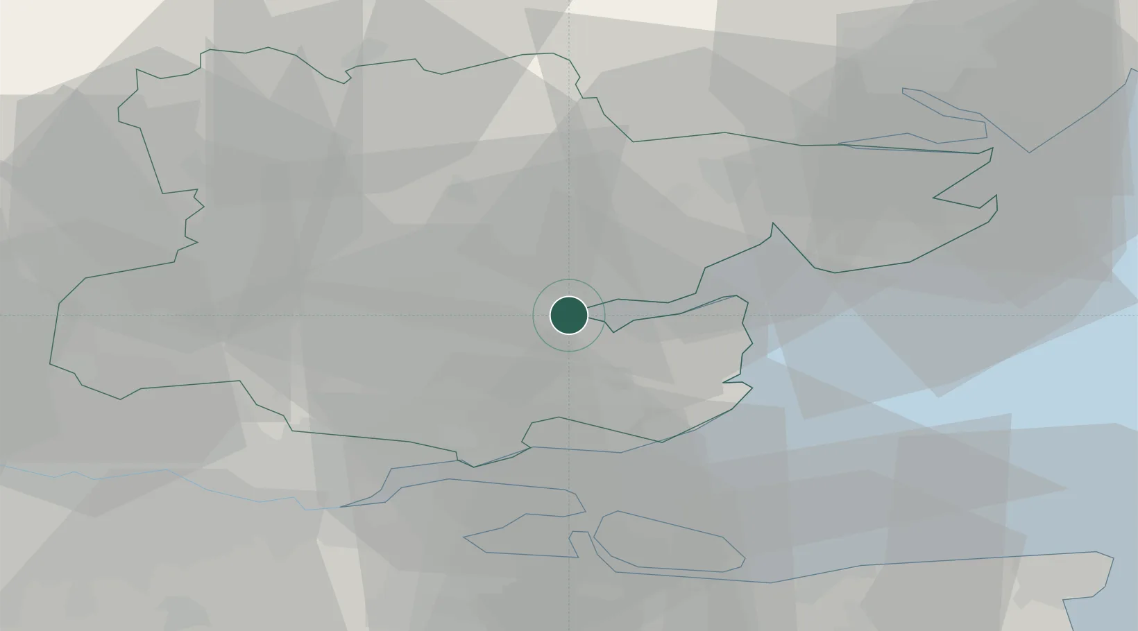
Location
Nearby Logistics Neighbours
Cities
- 1Maylandsea6 km
- 2Paglesham10 km
- 3Hatfield Peverel10 km
- 4Creeksea11 km
- 5Rettendon13 km
Ports
- 1Colchester24 km
- 2Sheerness30 km
- 3Isle Of Grain32 km
- 4Thamesport32 km
- 5Chatham Docks37 km
Airports
- 1London Southend Airport16 km
- 2London Stansted Airport37 km
- 3Wattisham Airfield49 km
- 4London City Airport50 km
- 5London Biggin Hill Airport63 km
Trade Zones
DatabookThe Record of Consolidated Knowledge
United Kingdom beyond logistics?