Transport Functions
Rail
Road
Multimodal
Hub Profile
Place type
Populated place
Region
England
Population
448
Time zone
Europe/London
Elevation
14 m
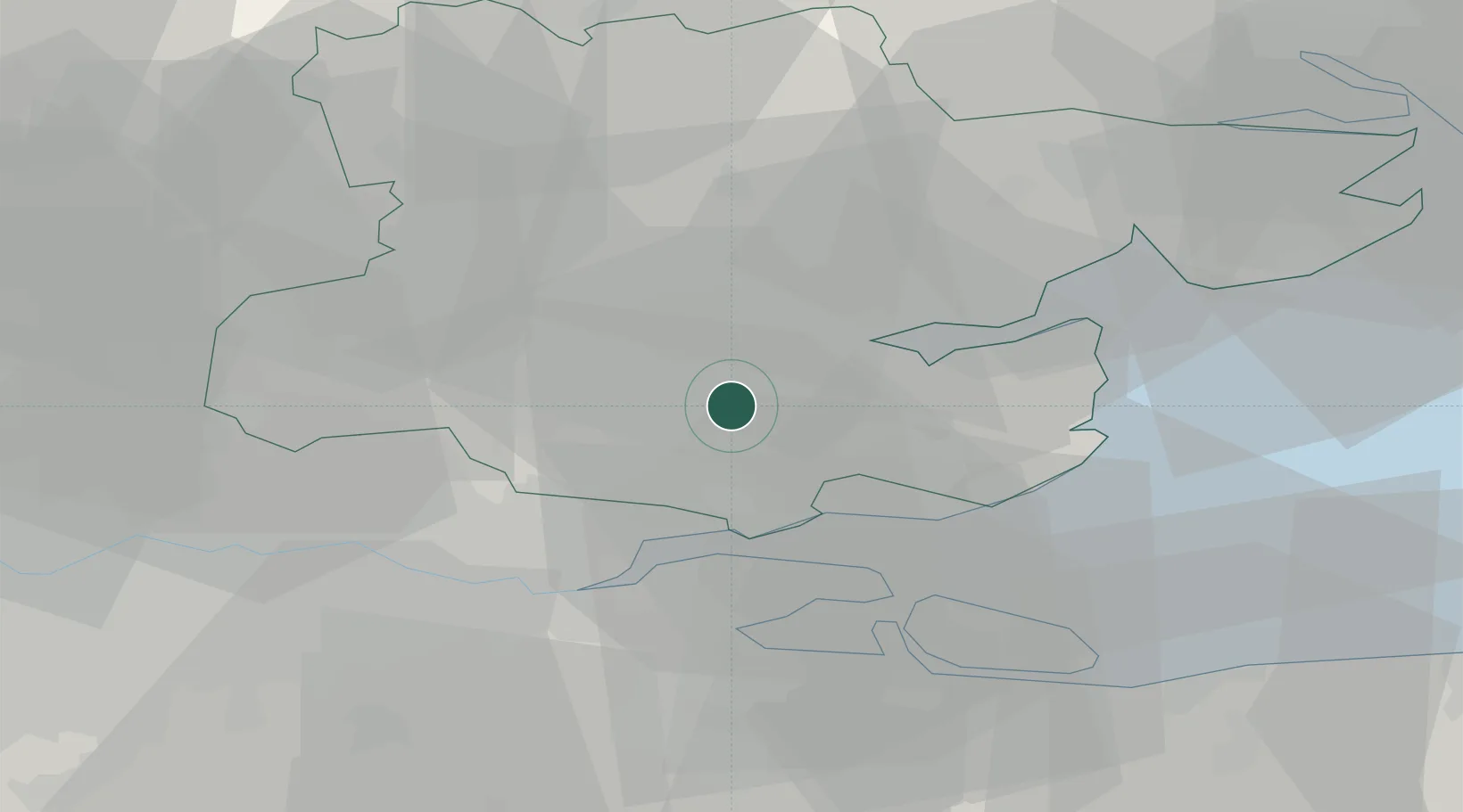
Location
Nearby Logistics Neighbours
Cities
- 1Ramsden Heath8 km
- 2Paglesham8 km
- 3Widford9 km
- 4Thundersley11 km
- 5Heybridge13 km
Ports
- 1Tilbury25 km
- 2Gravesend26 km
- 3Sheerness26 km
- 4Isle Of Grain26 km
- 5Thamesport26 km
Airports
- 1London Southend Airport13 km
- 2London Stansted Airport34 km
- 3London City Airport38 km
- 4London Biggin Hill Airport50 km
- 5Wattisham Airfield60 km
Trade Zones
DatabookThe Record of Consolidated Knowledge
United Kingdom beyond logistics?