Transport Functions
Multimodal
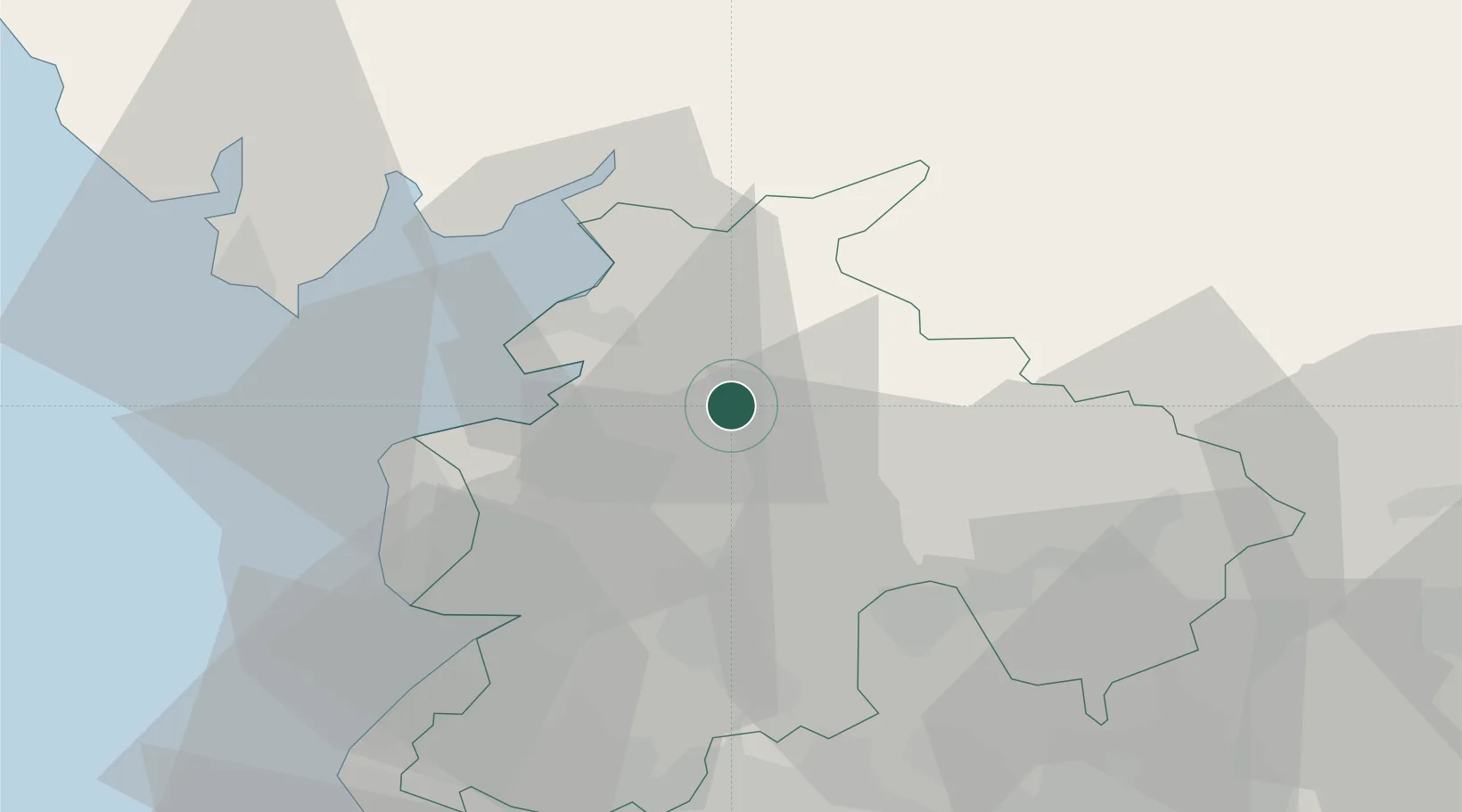
Hub Profile
Place type
Populated place
Region
England
Time zone
Europe/London
Elevation
137 m
Location
Nearby Logistics Neighbours
Cities
- 1Galgate8 km
- 2Glasson Dock12 km
- 3Claughton13 km
- 4Heaton14 km
- 5Hest Bank16 km
Ports
- 1Lancaster12 km
- 2Heysham18 km
- 3Fleetwood24 km
- 4Barrow In Furness41 km
- 5Manchester60 km
Airports
- 1Warton Aerodrome28 km
- 2Blackpool Airport32 km
- 3Barrow Walney Island Airport43 km
- 4Leeds Bradford Airport67 km
- 5Liverpool John Lennon Airport71 km
Trade Zones
DatabookThe Record of Consolidated Knowledge
United Kingdom beyond logistics?