Transport Functions
Multimodal
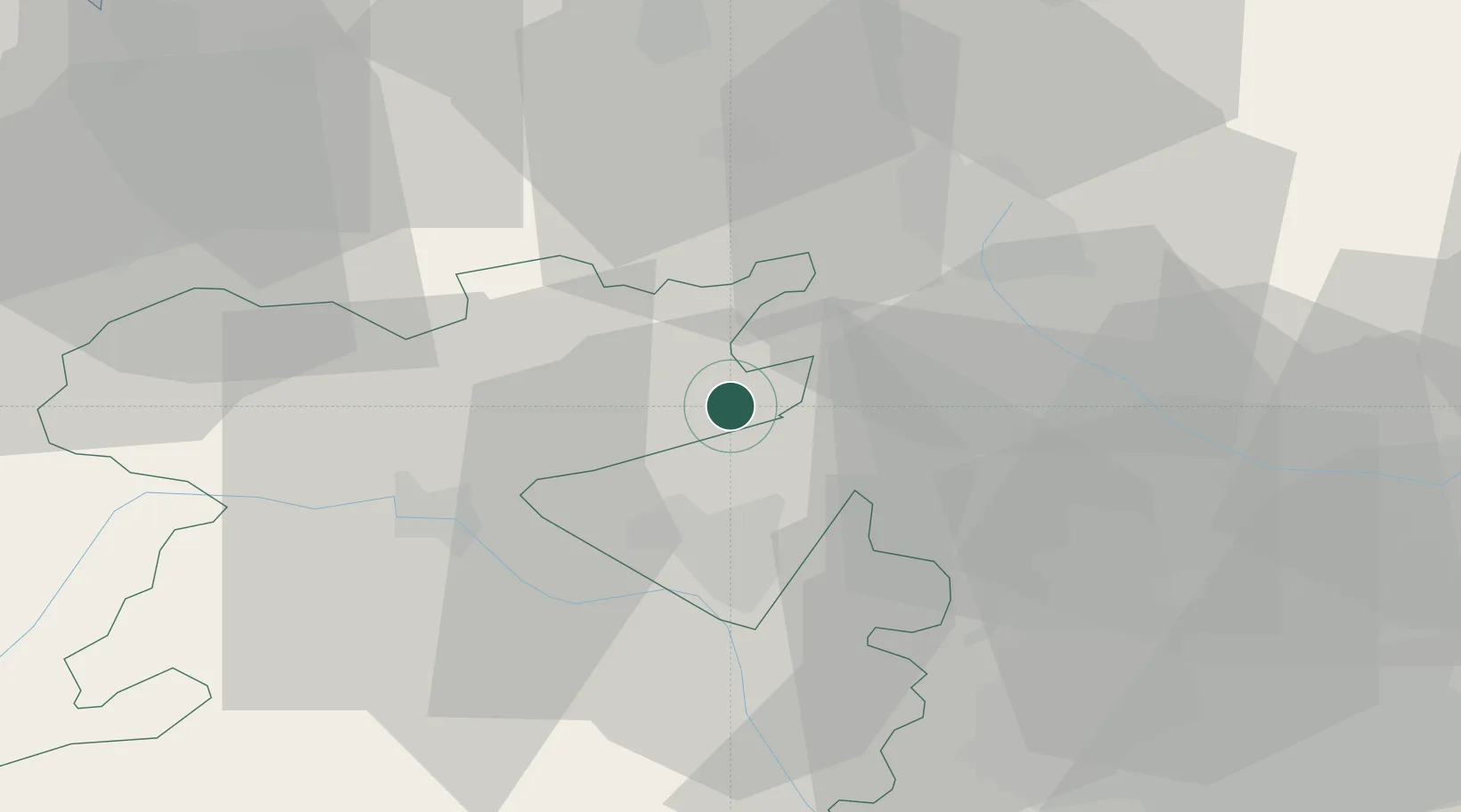
Hub Profile
Place type
Populated place
Region
England
Time zone
Europe/London
Elevation
102 m
Location
Nearby Logistics Neighbours
Cities
- 1Crudgington11 km
- 2Pipe Gate16 km
- 3Oakamoor19 km
- 4Shifnal19 km
- 5Madeley20 km
Ports
- 1Garlston65 km
- 2Manchester73 km
- 3Liverpool75 km
- 4Mostyn77 km
- 5Liverpool Bay Terminal107 km
Airports
- 1RAF Shawbury15 km
- 2RAF Cosford24 km
- 3Hawarden Airport52 km
- 4Manchester Airport59 km
- 5Liverpool John Lennon Airport62 km
DatabookThe Record of Consolidated Knowledge
United Kingdom beyond logistics?