Transport Functions
Multimodal
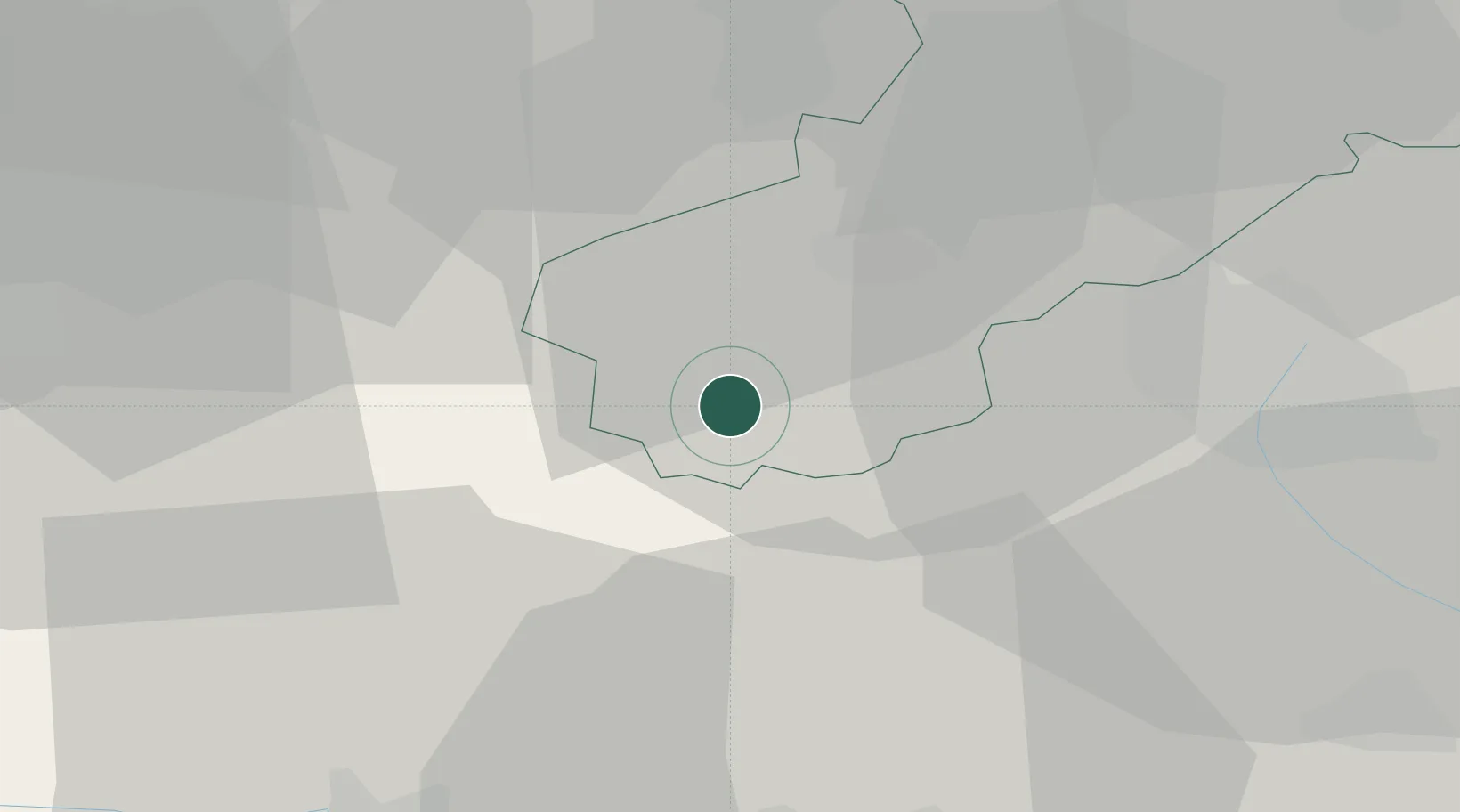
Hub Profile
Place type
Populated place
Region
England
Time zone
Europe/London
Elevation
113 m
Location
Nearby Logistics Neighbours
Ports
- 1Garlston46 km
- 2Liverpool56 km
- 3Manchester57 km
- 4Mostyn60 km
- 5Liverpool Bay Terminal90 km
Airports
- 1RAF Shawbury24 km
- 2Hawarden Airport36 km
- 3Manchester Airport42 km
- 4Liverpool John Lennon Airport43 km
- 5RAF Cosford43 km
Trade Zones
DatabookThe Record of Consolidated Knowledge
United Kingdom beyond logistics?