Transport Functions
Rail
Road
Multimodal
Hub Profile
Place type
Populated place
Region
England
Population
3,893
Time zone
Europe/London
Elevation
109 m
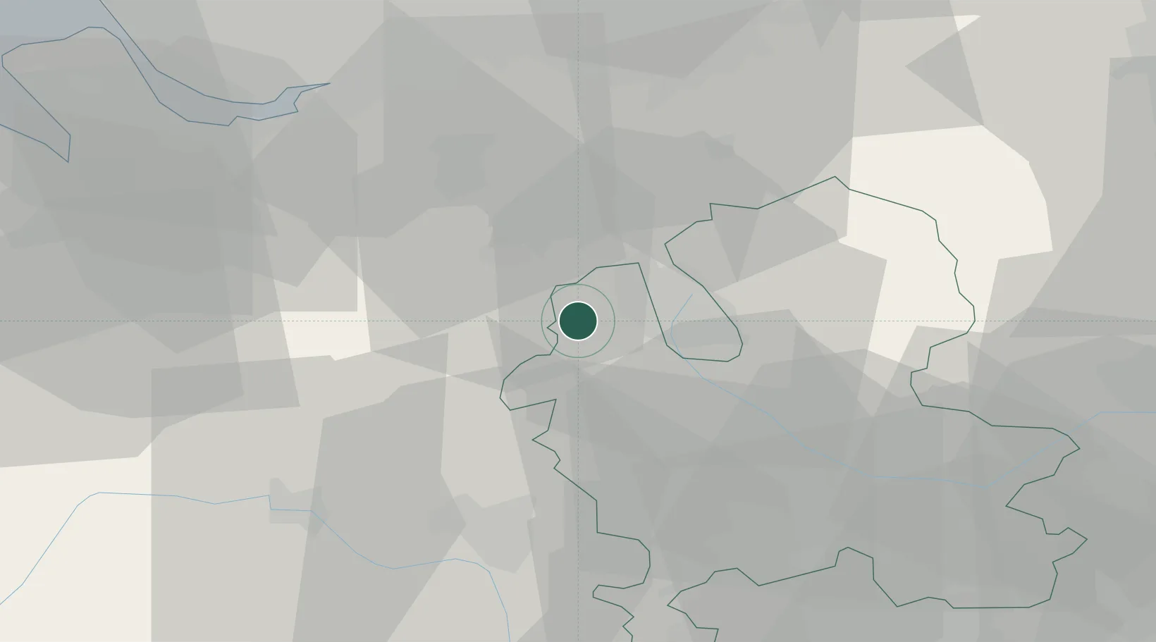
Location
Nearby Logistics Neighbours
Cities
- 1Betley4 km
- 2Pipe Gate5 km
- 3Wybunbury9 km
- 4Stoke on Trent12 km
- 5Oakamoor13 km
Ports
- 1Manchester54 km
- 2Garlston54 km
- 3Liverpool64 km
- 4Mostyn72 km
- 5Liverpool Bay Terminal100 km
Airports
- 1RAF Shawbury32 km
- 2Manchester Airport39 km
- 3RAF Cosford40 km
- 4Hawarden Airport47 km
- 5Liverpool John Lennon Airport51 km
Trade Zones
DatabookThe Record of Consolidated Knowledge
United Kingdom beyond logistics?