Transport Functions
Multimodal
Hub Profile
Place type
Populated place
Region
England
Time zone
Europe/London
Elevation
294 m
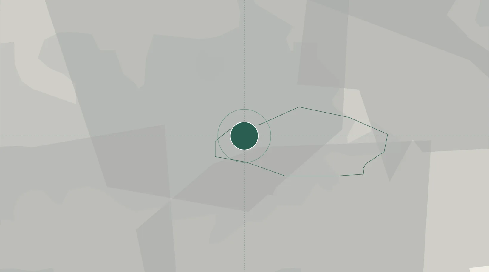
Location
Nearby Logistics Neighbours
Cities
- 1Clayton0 km
- 2Longsight1 km
- 3Ardwick1 km
- 4Manchester Container Terminal1 km
- 5Clayton2 km
Ports
- 1Manchester6 km
- 2Garlston49 km
- 3Liverpool54 km
- 4Mostyn74 km
- 5Fleetwood74 km
Airports
- 1Manchester Airport15 km
- 2Liverpool John Lennon Airport47 km
- 3Warton Aerodrome56 km
- 4Leeds Bradford Airport56 km
- 5Hawarden Airport62 km
DatabookThe Record of Consolidated Knowledge
United Kingdom beyond logistics?