Transport Functions
Rail
Road
Multimodal
Hub Profile
Place type
District seat
Region
England
Time zone
Europe/London
Elevation
291 m
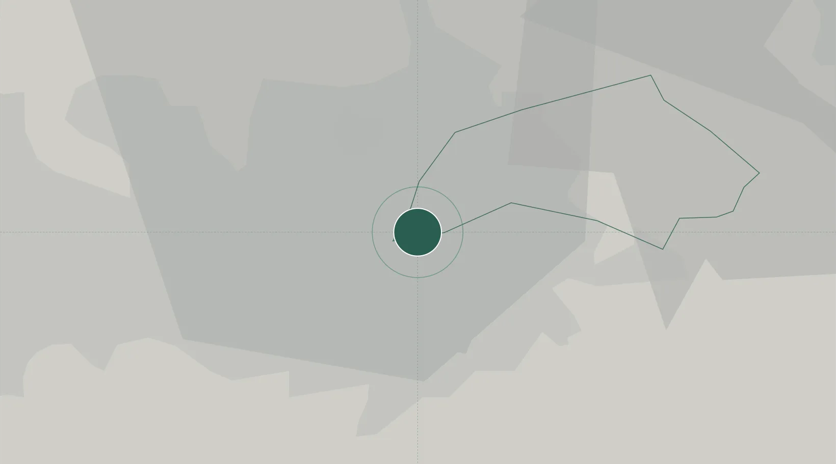
Location
Nearby Logistics Neighbours
Cities
- 1Manchester Container Terminal2 km
- 2Foolow2 km
- 3Clayton2 km
- 4Longsight2 km
- 5Ardwick2 km
Ports
- 1Manchester6 km
- 2Garlston50 km
- 3Liverpool55 km
- 4Fleetwood73 km
- 5Mostyn74 km
Airports
- 1Manchester Airport16 km
- 2Liverpool John Lennon Airport47 km
- 3Warton Aerodrome55 km
- 4Leeds Bradford Airport55 km
- 5Hawarden Airport63 km
Trade Zones
DatabookThe Record of Consolidated Knowledge
United Kingdom beyond logistics?