Transport Functions
Rail
Road
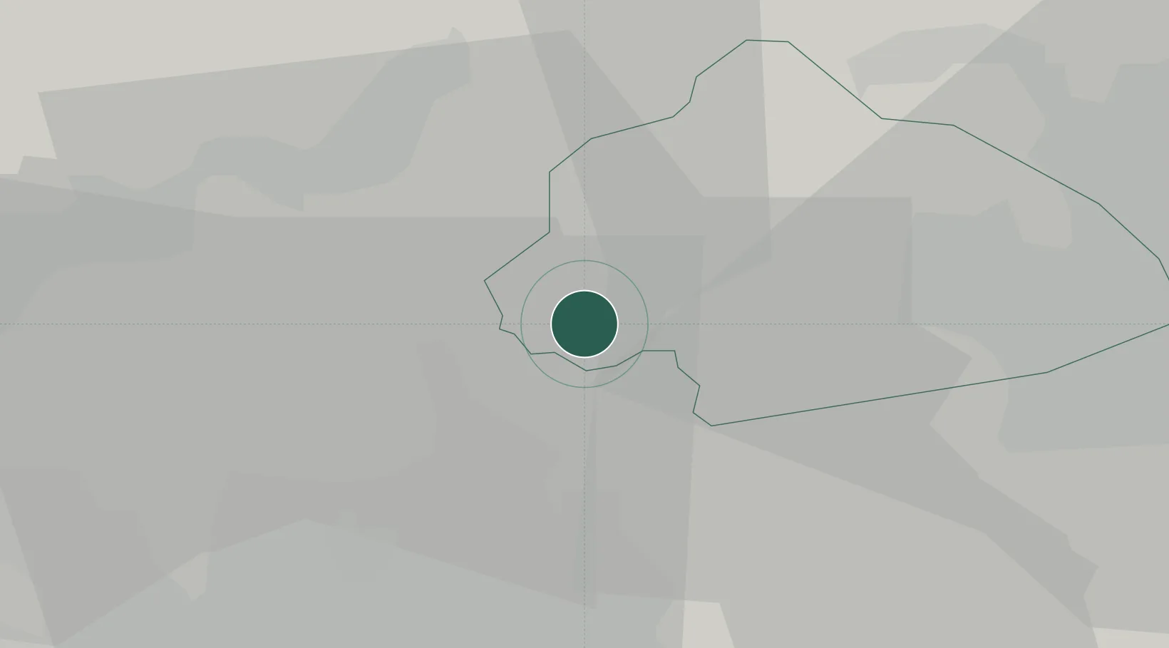
Hub Profile
Place type
Populated place
Region
England
Population
2,000
Time zone
Europe/London
Elevation
163 m
Location
Nearby Logistics Neighbours
Cities
- 1Littleborough7 km
- 2Rossendale10 km
- 3Heywood15 km
- 4Brierfield16 km
- 5Ramsbottom16 km
Ports
- 1Manchester27 km
- 2Lancaster59 km
- 3Fleetwood65 km
- 4Heysham65 km
- 5Garlston66 km
Airports
- 1Leeds Bradford Airport34 km
- 2Manchester Airport41 km
- 3Warton Aerodrome52 km
- 4Leeds East Airport61 km
- 5Blackpool Airport62 km
DatabookThe Record of Consolidated Knowledge
United Kingdom beyond logistics?