UN/LOCODE hub · United Kingdom
GBRDA
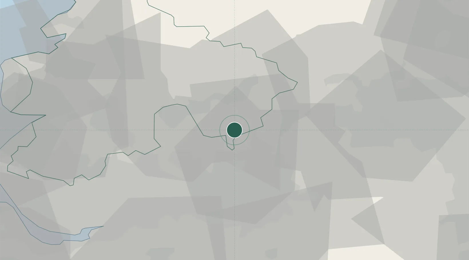
Rossendale
53.6833°, -2.2500°
67,400
Population
1
Transport functions
Transport Functions
Port
Hub Profile
Place type
Locality
Region
England
Population
67,400
Time zone
Europe/London
Elevation
380 m
Location
Nearby Logistics Neighbours
Cities
- 1Ramsbottom7 km
- 2Baxenden9 km
- 3Walsden10 km
- 4Heywood11 km
- 5Littleborough11 km
Ports
- 1Manchester22 km
- 2Lancaster54 km
- 3Fleetwood57 km
- 4Garlston57 km
- 5Liverpool58 km
Airports
- 1Manchester Airport37 km
- 2Warton Aerodrome42 km
- 3Leeds Bradford Airport44 km
- 4Blackpool Airport52 km
- 5Liverpool John Lennon Airport55 km
Trade Zones
DatabookThe Record of Consolidated Knowledge
United Kingdom beyond logistics?