UN/LOCODE hub · United Kingdom
GBHDI
Hadleigh
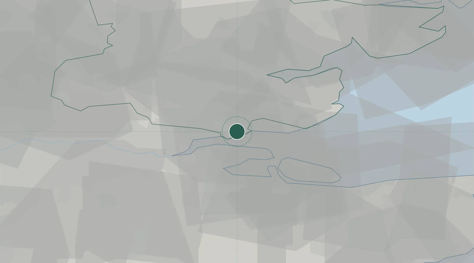
51.5333°, 0.6000°
18,300
Population
2
Transport functions
Transport Functions
Rail
Road
Hub Profile
Place type
Populated place
Region
England
Population
18,300
Time zone
Europe/London
Elevation
74 m
Location
Nearby Logistics Neighbours
Cities
- 1Thundersley2 km
- 2Canvey Island3 km
- 3Leigh-on-Sea5 km
- 4North Woolwich6 km
- 5East Ham7 km
Ports
- 1Isle Of Grain13 km
- 2Thamesport13 km
- 3Sheerness14 km
- 4Chatham Docks15 km
- 5Gravesend19 km
Airports
Trade Zones
DatabookThe Record of Consolidated Knowledge
United Kingdom beyond logistics?