UN/LOCODE hub · United Kingdom
GBCAN
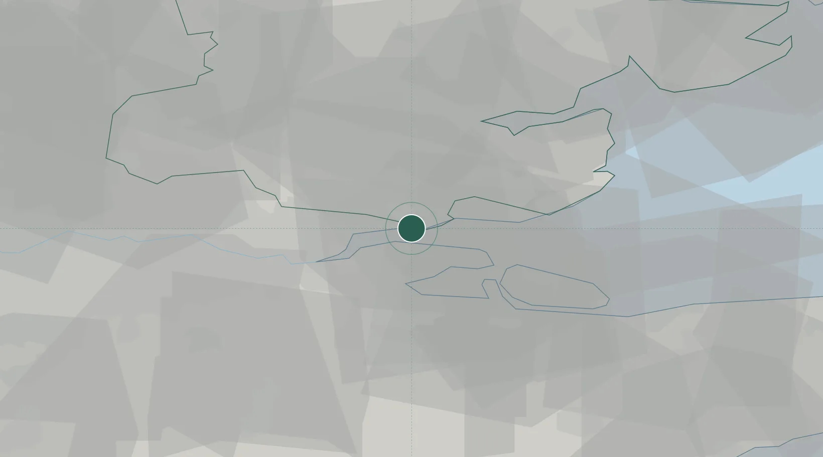
Canvey Island
51.5167°, 0.5667°
38,170
Population
1
Transport functions
Transport Functions
Port
Hub Profile
Place type
Local administrative seat
Region
England
Population
38,170
Time zone
Europe/London
Elevation
3 m
Location
Nearby Logistics Neighbours
Cities
- 1Hadleigh3 km
- 2Thundersley4 km
- 3East Ham5 km
- 4London Gateway Port6 km
- 5North Woolwich7 km
Ports
- 1Chatham Docks13 km
- 2Isle Of Grain13 km
- 3Thamesport13 km
- 4Sheerness15 km
- 5Gravesend16 km
Airports
- 1London Southend Airport11 km
- 2London City Airport35 km
- 3London Biggin Hill Airport42 km
- 4London Stansted Airport47 km
- 5London Gatwick Airport66 km
Trade Zones
DatabookThe Record of Consolidated Knowledge
United Kingdom beyond logistics?