UN/LOCODE hub · United Kingdom
GBLOS

Leigh-on-Sea

51.5500°, 0.6667°
1
Transport functions

Transport Functions

Port
UN/LOCODE

Hub Profile

Place type
District seat
GeoNames
Region
England
GeoNames
Time zone
Europe/London
GeoNames
Elevation
38 m
GeoNames

Location

Location of GBLOS
Natural Earth 10m (public domain) · England · GBLOS · 51.55, 0.67GoogleOSMYandex

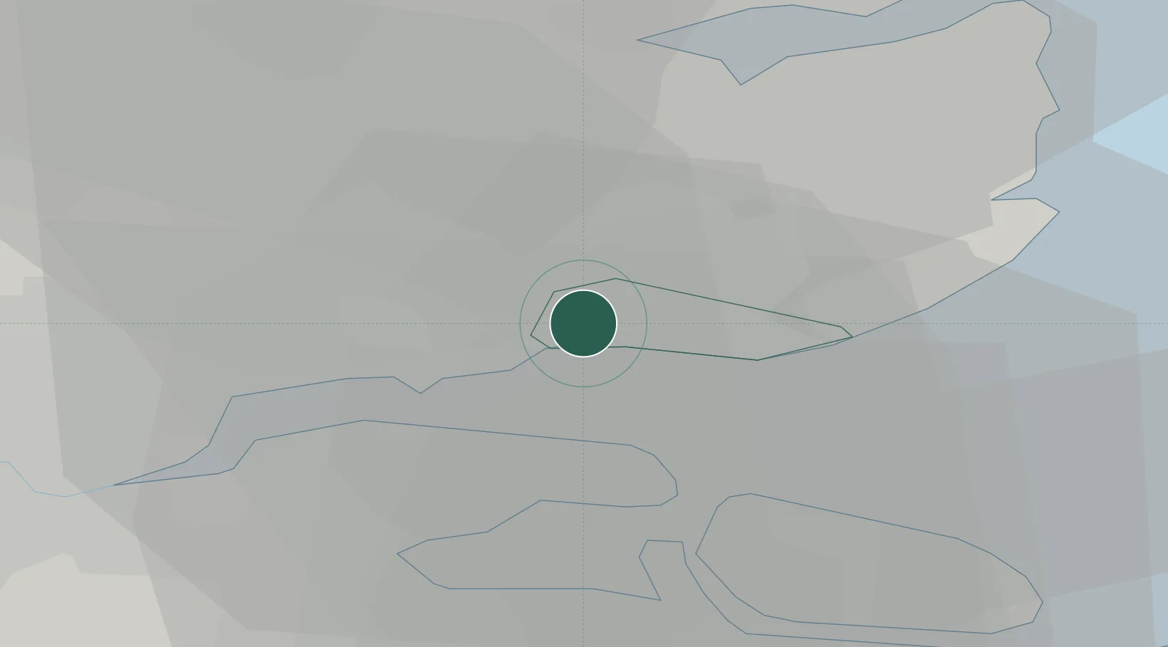
Nearby Logistics Neighbours

Cities
  1. 1Southend-on-Sea3 km
  2. 2Netherfield4 km
  3. 3Hadleigh5 km
  4. 4North Woolwich6 km
  5. 5Thundersley6 km
Nearest neighbours — logibook spatial index (haversine) over the source coordinates
Ports
  1. 1Sheerness13 km
  2. 2Isle Of Grain13 km
  3. 3Thamesport13 km
  4. 4Chatham Docks19 km
  5. 5Gravesend24 km
Nearest neighbours — logibook spatial index (haversine) over the source coordinates
Airports
  1. 1London Southend Airport3 km
  2. 2London City Airport43 km
  3. 3London Stansted Airport48 km
  4. 4London Biggin Hill Airport50 km
  5. 5Wattisham Airfield67 km
Nearest neighbours — logibook spatial index (haversine) over the source coordinates
Trade Zones
  1. 1Port of Sheerness Free Zone13 km
  2. 2Port of Tilbury Free Zone24 km
  3. 3London Royal Docks Enterprise Zone46 km
  4. 4Harlow Enterprise Zone46 km
  5. 5Discovery Park - Sandwich Enterprise Zone55 km
Nearest neighbours — logibook spatial index (haversine) over the source coordinates
DatabookThe Record of Consolidated Knowledge
United Kingdom beyond logistics?
Browse databook

All Sources

LocationsUN/LOCODE
UN/LOCODE — free
Portsthe NGA World Port Index
Public domain (US gov)
AirportsOurAirports
Public domain
Trade Zonesthe World Bank SEZ database
CC BY 4.0
Trade ZonesOpen Zone Map
CC BY
← United Kingdom locations