UN/LOCODE hub · United Kingdom
GBSLH
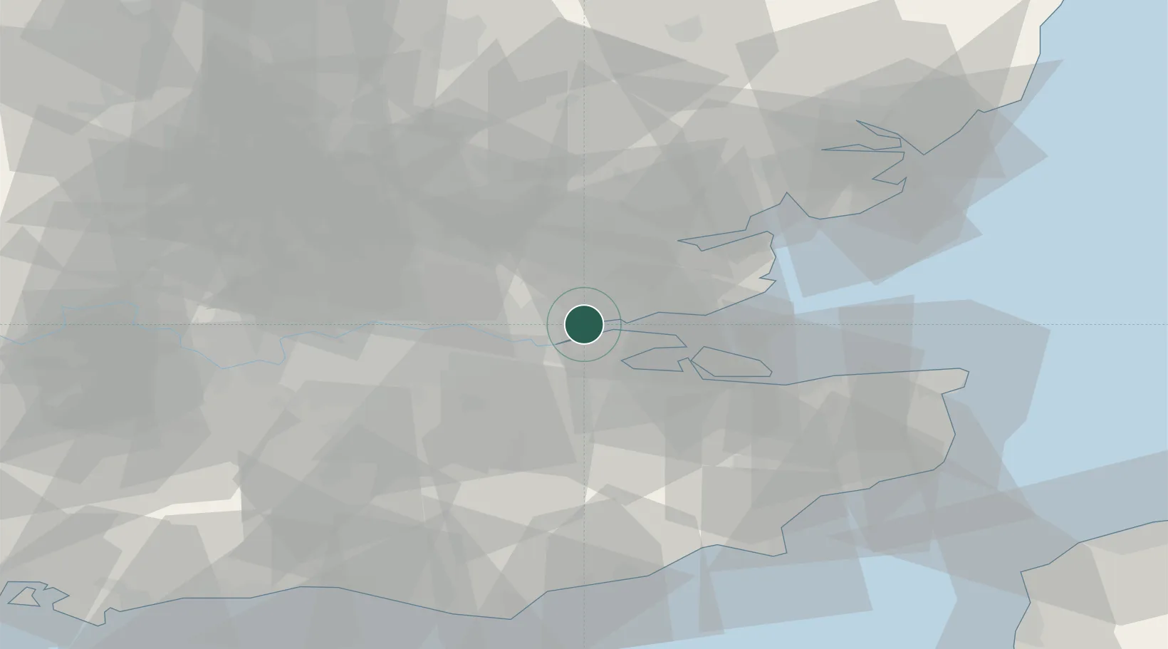
Stanford-le-Hope
51.5045°, 0.4593°
28,725
Population
2
Transport functions
Transport Functions
Rail
Road
Hub Profile
Place type
Populated place
Region
England
Population
28,725
Time zone
Europe/London
Elevation
13 m
Logistics facilities
2
Location
Nearby Logistics Neighbours
Cities
- 1London Gateway Park1 km
- 2London Gateway Port2 km
- 3East Ham4 km
- 4Canvey Island8 km
- 5Gravesend8 km
Ports
- 1Gravesend9 km
- 2Tilbury10 km
- 3Chatham Docks13 km
- 4Isle Of Grain19 km
- 5Thamesport19 km
Airports
- 1London Southend Airport18 km
- 2London City Airport28 km
- 3London Biggin Hill Airport35 km
- 4London Stansted Airport45 km
- 5London Gatwick Airport60 km
Trade Zones
DatabookThe Record of Consolidated Knowledge
United Kingdom beyond logistics?