Transport Functions
Multimodal
Hub Profile
Place type
District seat
Region
England
Time zone
Europe/London
Elevation
12 m
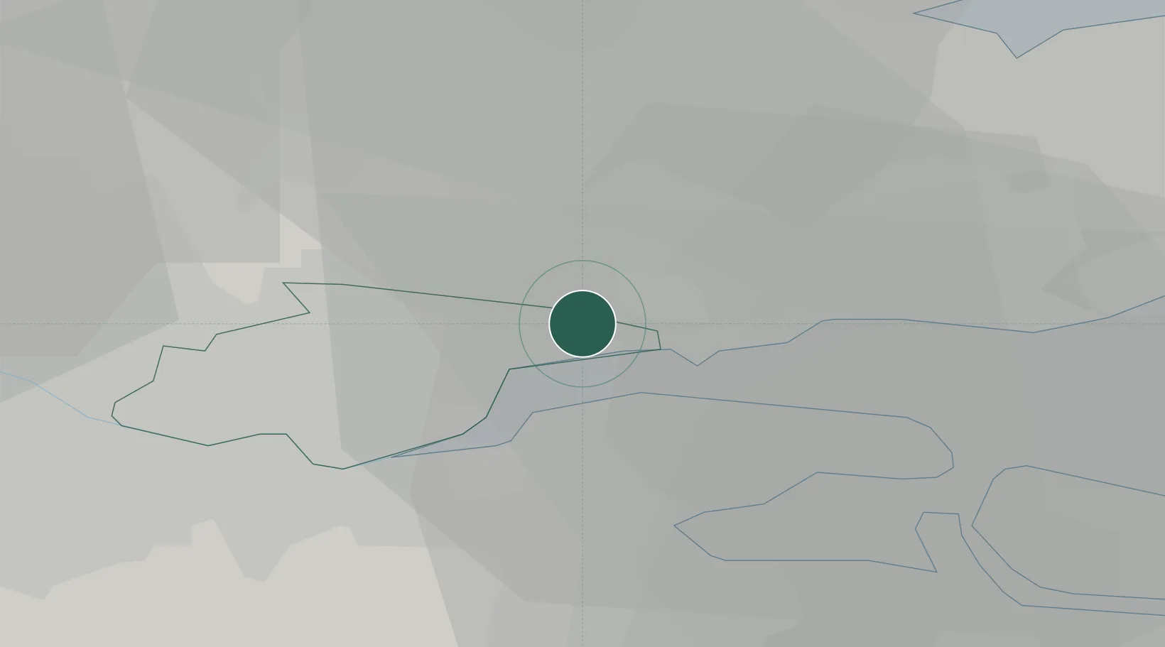
Location
Nearby Logistics Neighbours
Cities
- 1London Gateway Port3 km
- 2Stanford-le-Hope4 km
- 3London Gateway Park4 km
- 4Canvey Island5 km
- 5Thundersley6 km
Ports
- 1Gravesend13 km
- 2Tilbury14 km
- 3Chatham Docks15 km
- 4Isle Of Grain18 km
- 5Thamesport18 km
Airports
- 1London Southend Airport14 km
- 2London City Airport31 km
- 3London Biggin Hill Airport40 km
- 4London Stansted Airport43 km
- 5RAF Northolt64 km
Trade Zones
DatabookThe Record of Consolidated Knowledge
United Kingdom beyond logistics?