UN/LOCODE hub · United Kingdom
GBLGP
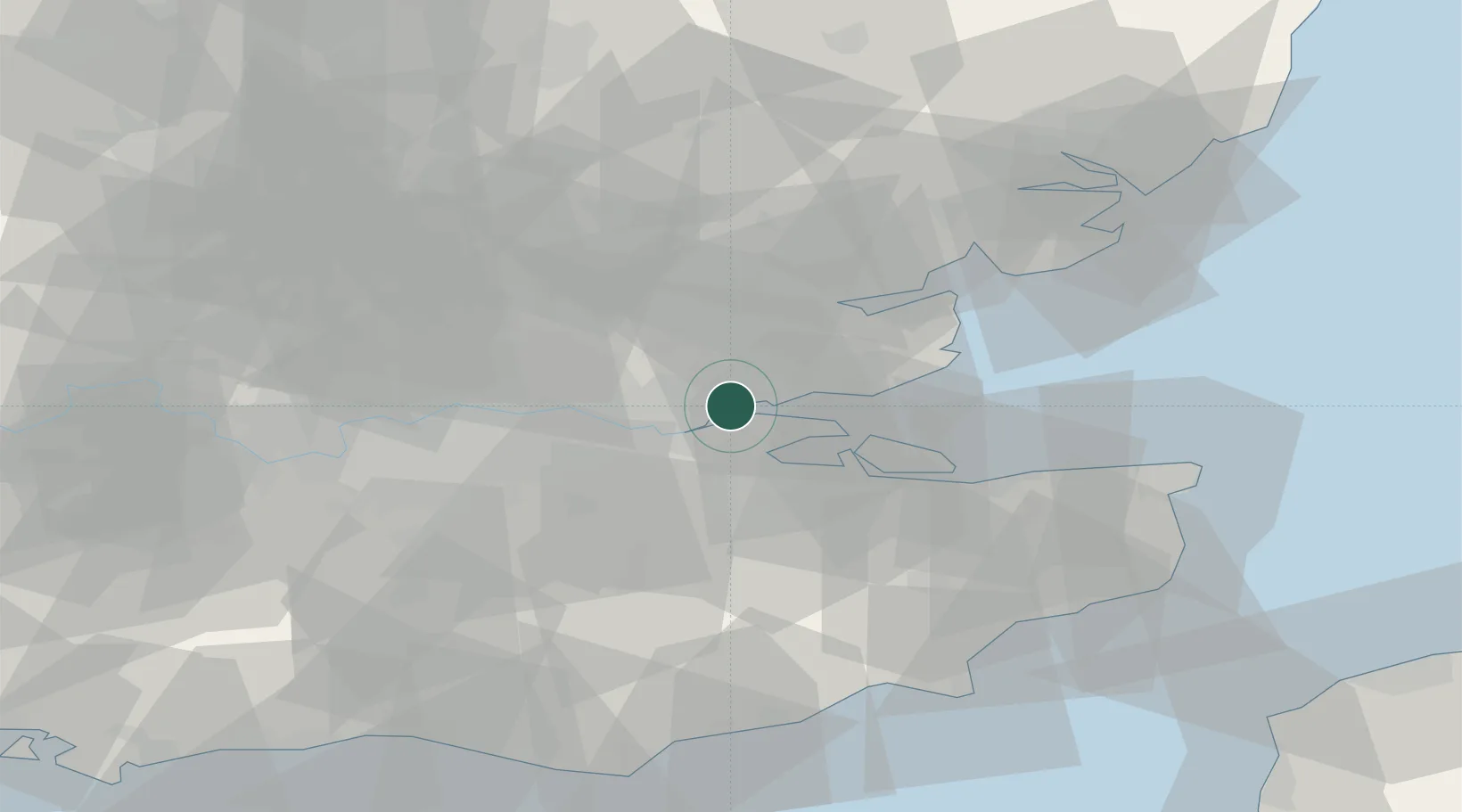
London Gateway Port
51.5072°, 0.4806°
4
Transport functions
1
Container terminals
Transport Functions
Port
Rail
Road
Multimodal
Hub Profile
Region
ESS
Logistics facilities
4
Container terminals
1
Location
Nearby Logistics Neighbours
Cities
- 1London Gateway Park1 km
- 2Stanford-le-Hope2 km
- 3East Ham3 km
- 4Canvey Island6 km
- 5Thundersley9 km
Ports
- 1Gravesend10 km
- 2Tilbury11 km
- 3Chatham Docks13 km
- 4Isle Of Grain17 km
- 5Thamesport17 km
Airports
- 1London Southend Airport16 km
- 2London City Airport29 km
- 3London Biggin Hill Airport37 km
- 4London Stansted Airport45 km
- 5London Gatwick Airport61 km
Trade Zones
DatabookThe Record of Consolidated Knowledge
United Kingdom beyond logistics?