UN/LOCODE hub · United Kingdom
GBLGX

London Gateway Park

51.5000°, 0.4667°
2
Transport functions

Transport Functions

Rail
Multimodal
UN/LOCODE

Hub Profile

Region
ESS
GeoNames

Location

Location of GBLGX
Natural Earth 10m (public domain) · ESS · GBLGX · 51.50, 0.47GoogleOSMYandex

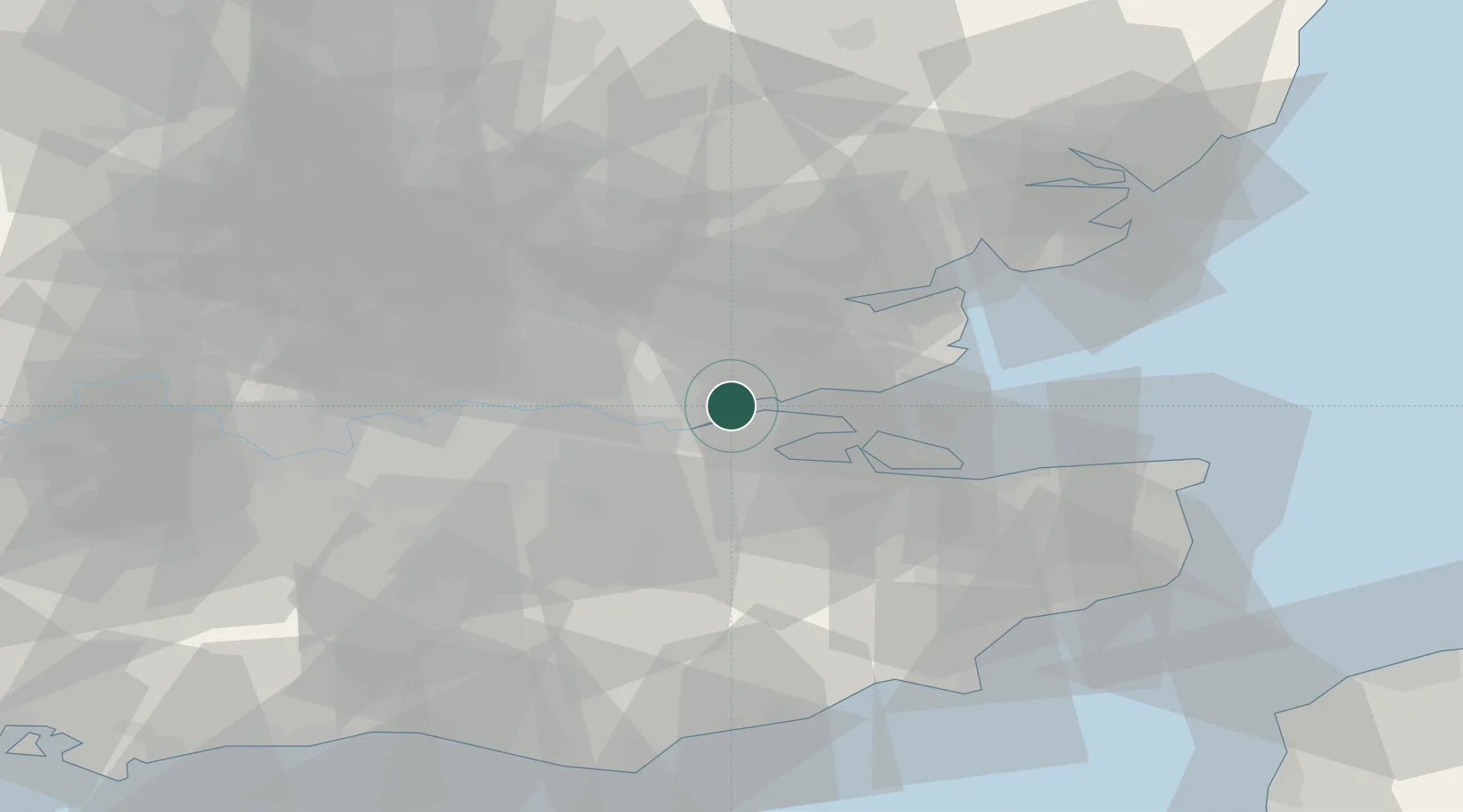
Nearby Logistics Neighbours

Cities
  1. 1Stanford-le-Hope1 km
  2. 2London Gateway Port1 km
  3. 3East Ham4 km
  4. 4Canvey Island7 km
  5. 5Gravesend8 km
Nearest neighbours — logibook spatial index (haversine) over the source coordinates
Ports
  1. 1Gravesend9 km
  2. 2Tilbury10 km
  3. 3Chatham Docks13 km
  4. 4Isle Of Grain18 km
  5. 5Thamesport18 km
Nearest neighbours — logibook spatial index (haversine) over the source coordinates
Airports
  1. 1London Southend Airport18 km
  2. 2London City Airport29 km
  3. 3London Biggin Hill Airport36 km
  4. 4London Stansted Airport46 km
  5. 5London Gatwick Airport60 km
Nearest neighbours — logibook spatial index (haversine) over the source coordinates
Trade Zones
  1. 1Port of Tilbury Free Zone9 km
  2. 2Port of Sheerness Free Zone21 km
  3. 3London Royal Docks Enterprise Zone32 km
  4. 4Harlow Enterprise Zone39 km
  5. 5Discovery Park - Sandwich Enterprise Zone65 km
Nearest neighbours — logibook spatial index (haversine) over the source coordinates
DatabookThe Record of Consolidated Knowledge
United Kingdom beyond logistics?
Browse databook

All Sources

LocationsUN/LOCODE
UN/LOCODE — free
Portsthe NGA World Port Index
Public domain (US gov)
AirportsOurAirports
Public domain
Trade Zonesthe World Bank SEZ database
CC BY 4.0
Trade ZonesOpen Zone Map
CC BY
← United Kingdom locations