UN/LOCODE hub · United Kingdom
GBGVS
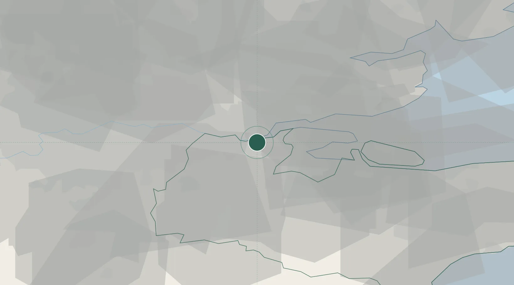
Gravesend
51.4421°, 0.3938°
54,263
Population
1
Transport functions
Transport Functions
Port
Hub Profile
Place type
District seat
Region
England
Population
54,263
Time zone
Europe/London
Elevation
21 m
Logistics facilities
2
Location
Nearby Logistics Neighbours
Cities
- 1Tilbury4 km
- 2Grays8 km
- 3London Gateway Park8 km
- 4Stanford-le-Hope8 km
- 5Meopham9 km
Ports
- 1Tilbury5 km
- 2Chatham Docks12 km
- 3Isle Of Grain21 km
- 4Thamesport21 km
- 5Sheerness25 km
Airports
- 1London City Airport25 km
- 2London Southend Airport25 km
- 3London Biggin Hill Airport28 km
- 4London Stansted Airport50 km
- 5London Gatwick Airport52 km
Trade Zones
DatabookThe Record of Consolidated Knowledge
United Kingdom beyond logistics?