UN/LOCODE hub · United Kingdom
GBHGW
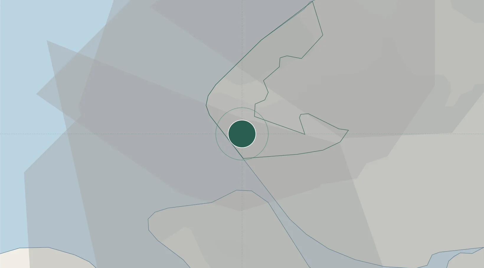
Hightown
53.5167°, -3.0500°
2,063
Population
3
Transport functions
Transport Functions
Port
Rail
Road
Hub Profile
Place type
District seat
Region
England
Population
2,063
Time zone
Europe/London
Elevation
9 m
Location
Nearby Logistics Neighbours
Cities
- 1Preston Brook2 km
- 2Formby4 km
- 3Sefton6 km
- 4Seaforth6 km
- 5Moore Cheshire7 km
Ports
- 1Liverpool12 km
- 2Garlston21 km
- 3Mostyn27 km
- 4Liverpool Bay Terminal33 km
- 5Fleetwood45 km
Airports
- 1Liverpool John Lennon Airport24 km
- 2Warton Aerodrome28 km
- 3Blackpool Airport28 km
- 4Hawarden Airport38 km
- 5Manchester Airport54 km
Trade Zones
DatabookThe Record of Consolidated Knowledge
United Kingdom beyond logistics?