UN/LOCODE hub · United Kingdom
GBIBC
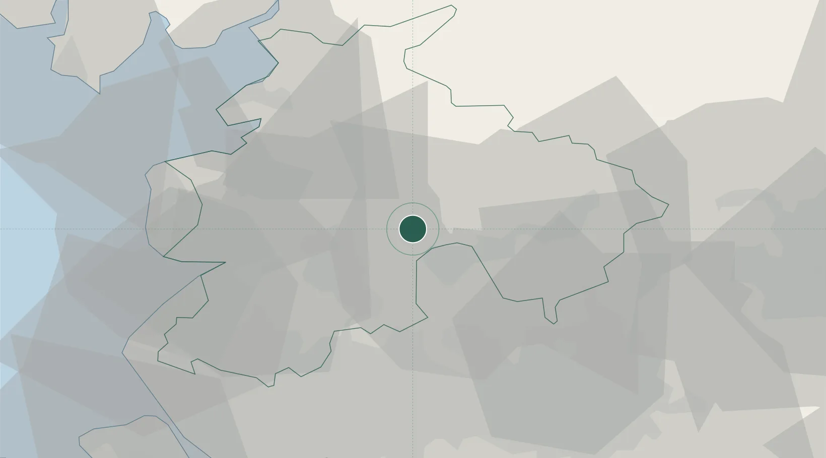
Ribchester
53.8000°, -2.5333°
888
Population
1
Transport functions
Transport Functions
Multimodal
Hub Profile
Place type
Populated place
Region
England
Population
888
Time zone
Europe/London
Elevation
30 m
Location
Nearby Logistics Neighbours
Cities
- 1Whalley8 km
- 2Ribbleton9 km
- 3Blackburn9 km
- 4Simonstone12 km
- 5Preston13 km
Ports
- 1Lancaster32 km
- 2Fleetwood34 km
- 3Heysham36 km
- 4Manchester39 km
- 5Liverpool53 km
Airports
- 1Warton Aerodrome24 km
- 2Blackpool Airport33 km
- 3Manchester Airport53 km
- 4Liverpool John Lennon Airport56 km
- 5Leeds Bradford Airport58 km
Trade Zones
DatabookThe Record of Consolidated Knowledge
United Kingdom beyond logistics?