UN/LOCODE hub · United Kingdom
GBSAV
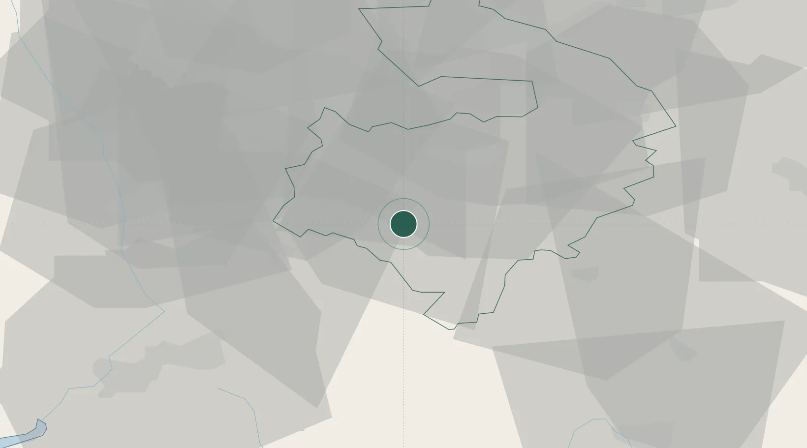
Stratford-upon-Avon
52.1590°, -1.6913°
27,830
Population
3
Transport functions
Transport Functions
Port
Rail
Road
Hub Profile
Place type
Populated place
Region
England
Population
27,830
Time zone
Europe/London
Elevation
44 m
Logistics facilities
1
Location
Nearby Logistics Neighbours
Cities
- 1Charlecote7 km
- 2Long Marston7 km
- 3Wallesbourne Hastings8 km
- 4Oxhill13 km
- 5Honeybourne13 km
Airports
- 1Coventry Airport28 km
- 2Birmingham Airport33 km
- 3Gloucestershire Airport44 km
- 4London Oxford Airport44 km
- 5RAF Brize Norton46 km
Trade Zones
DatabookThe Record of Consolidated Knowledge
United Kingdom beyond logistics?