Transport Functions
Port
Hub Profile
Place type
Populated place
Region
England
Time zone
Europe/London
Elevation
31 m
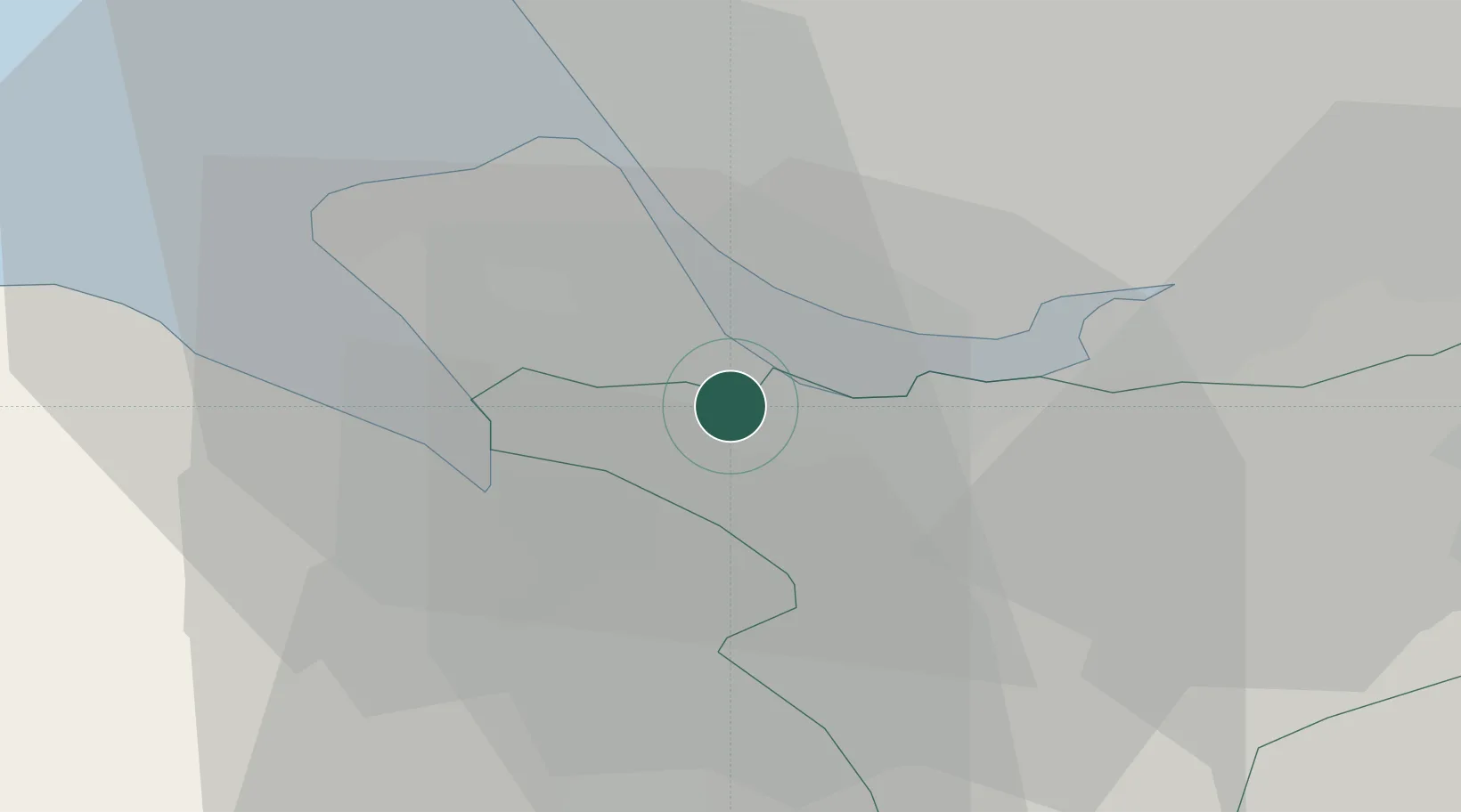
Location
Nearby Logistics Neighbours
Cities
- 1Eastham2 km
- 2Port Sunlight6 km
- 3Garston7 km
- 4Garston7 km
- 5Reepham7 km
Ports
- 1Garlston8 km
- 2Liverpool15 km
- 3Mostyn21 km
- 4Liverpool Bay Terminal49 km
- 5Manchester51 km
Airports
- 1Liverpool John Lennon Airport9 km
- 2Hawarden Airport12 km
- 3Manchester Airport45 km
- 4Warton Aerodrome52 km
- 5Blackpool Airport55 km
Trade Zones
DatabookThe Record of Consolidated Knowledge
United Kingdom beyond logistics?