Transport Functions
Port
Hub Profile
Place type
Populated place
Region
England
Time zone
Europe/London
Elevation
14 m
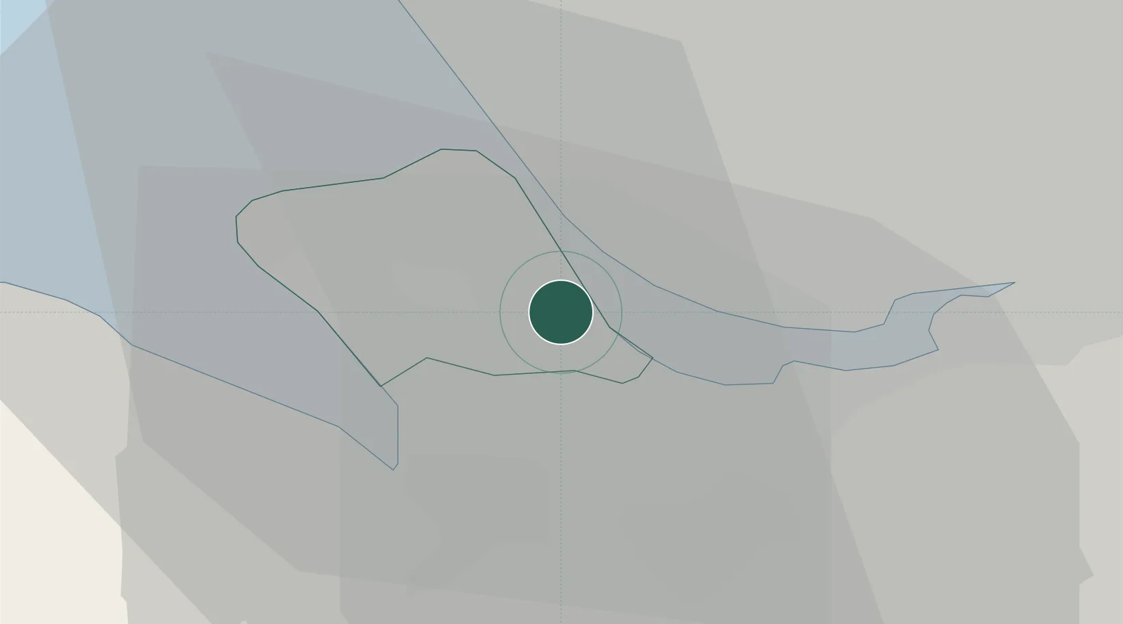
Location
Nearby Logistics Neighbours
Cities
- 1Birkenhead2 km
- 2Bebington3 km
- 3Rock Ferry4 km
- 4Eastham4 km
- 5Tranmere4 km
Ports
- 1Garlston6 km
- 2Liverpool9 km
- 3Mostyn19 km
- 4Liverpool Bay Terminal44 km
- 5Manchester50 km
Airports
- 1Liverpool John Lennon Airport9 km
- 2Hawarden Airport17 km
- 3Warton Aerodrome46 km
- 4Manchester Airport47 km
- 5Blackpool Airport49 km
Trade Zones
DatabookThe Record of Consolidated Knowledge
United Kingdom beyond logistics?