Transport Functions
Port
Hub Profile
Place type
Populated place
Region
England
Population
2,172
Time zone
Europe/London
Elevation
6 m
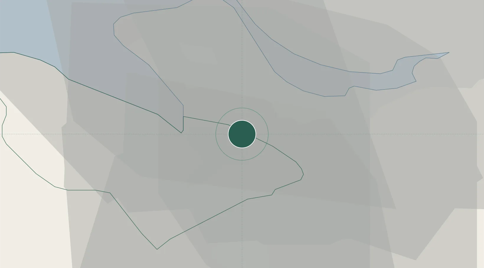
Location
Nearby Logistics Neighbours
Cities
- 1Connah's Quay5 km
- 2Connahs Quay5 km
- 3Hooton7 km
- 4Broughton7 km
- 5Eastham8 km
Ports
- 1Garlston15 km
- 2Mostyn20 km
- 3Liverpool20 km
- 4Liverpool Bay Terminal49 km
- 5Manchester56 km
Airports
- 1Hawarden Airport6 km
- 2Liverpool John Lennon Airport15 km
- 3Manchester Airport50 km
- 4RAF Shawbury53 km
- 5Warton Aerodrome57 km
Trade Zones
DatabookThe Record of Consolidated Knowledge
United Kingdom beyond logistics?